5 Barleycroft, Buntingford, SG9 9SD
About 5 Barleycroft
5 Barleycroft is a two-bedroom end-of-terrace house in Buntingford (SG9 9SD). It has a recorded floor area of 67 m² (around 721 sq ft), construction records dating it to 1991-1995 and council tax band D. The latest certificate (March 2013) shows a D (score 63), on the cusp of jumping into the C band. The recommended improvements would lift it to B (score 88), a 2-band jump. The latest certificate is from March 2013, so improvements made since then won't be reflected.
8 years since the last transfer (February 2018). Across the public record there are 7 sales, relatively high churn for a single property. One planning record on file: an extension approved in 2018. Past consents include an extension, meaningful when judging how the property has evolved. Across 1997–2018, sale prices on this property compounded at 7.2% per year. Today's modelled estimate of £388,000 is 15.8% above the 2018 sale price. On a £-per-square-foot basis, the last sale (£465/sq ft) was about 61.9% above the typical sold price in the postcode.
Know exactly what you're buying at 5 Barleycroft
Before you offer, see what the listing won't tell you, the true value, the red flags and the full history.
Already flagged here
Valuation
against the asking price
Risks
planning & flood
Sold prices
similar homes nearby
Trends
the local market
What this property has
Inside
- Bedrooms2
- Bathrooms2
- EnsuiteYes
Outside
- Private gardenYes
- ParkingOff street
Building
- Heating systemGas
- RefurbishedYes
Energy performance
Recommended upgrades on file would lift this property by multiple EPC bands.
EPC Expired
This certificate is over 10 years old and is no longer valid.Expired 19 Mar 2023
EPC Rating
Planning history
5 Barleycroft has an approved single-storey side extension on the planning record.
- Jul 2018ExtensionFullIn report
Extension: Single storey · Side of property
Single storey side extension
- Documents
- 5 docs on file
- Reference
- 3/18/1060/HH
We flagged 1 thing worth checking at 5 Barleycroft
Independent checks surfaced things a buyer would want to understand before offering. The report explains each one in full, with the underlying data and what to ask.
- Larger development activity nearby
30-day money-back guarantee
Sales history & valuation
Price for 5 Barleycroft has grown more than fourfold since the 1997 starting point.
£388,000
Modelled from EPC, postcode comparables and a sale-price growth of 7.2% per year over 20 years.
£335,000
Growth on file: 7.2% per year over 20 years.
Sales timeline
22 February 2018Most recent
£335,000
+19.6%over 2 years1 October 2015
£279,995
+27.3%over 2 years13 June 2013
£219,995
+0.9%over 6 years3 May 2007
£218,000
+40.6%over 4 years29 November 2002
£155,000
+37.2%over 1 year1 July 2001
£113,000
+37.0%over 3 years28 November 1997
£82,500
Median price across the last 5 sales in SG9 9SD: £495,000 (2024–2021).
Nearby sales in SG9 9SD
Everything we know about 5 Barleycroft, in one report
What it's really worth, what could be wrong, and the planning, sales and area data in full.
What we flagged
- Larger development activity nearby

Versus other Barleycroft homes
Price per m² for 5 Barleycroft runs comfortably ahead of the street norm.
Price per m²
£5,000
Street avg £3,995
Floor Area
67 m²
Street avg 74 m²
Habitable Rooms
4 rooms
Street avg 4 rooms
CO₂ Emissions
3.0 t/year
Street avg 3.1 t/year
Similar properties nearby
1 Bridgefoot House, Union Terrace
SG9 9AP
1 Castle Grove
SG9 9GW
1 Bowling Green Lane
SG9 9DF
1 Applewood
SG9 9GF
1 Aldridge Way
SG9 9FX
1 Bell Barns, Baldock Road
SG9 9FE
1 Campbell Close
SG9 9BY
1 Broad Baulk
SG9 9EH
The neighbourhood at a glance
Crime
5/mo
Steady year-on-year across the wider district.
Nearest stop
0.2 km
Aspenden Road — bus stop.
Closest school
0.3 km
Millfield First and Nursery School. 5 schools nearby.
Go deeper on the local area
The full report breaks down crime, transport links, schools and air quality in depth.
Road noise across the postcode
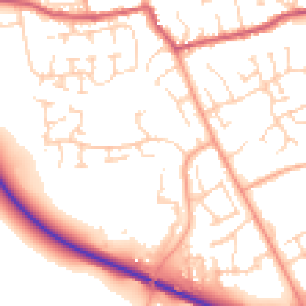
Daytime· 07:00 – 23:00
53.5dB

Night-time· 23:00 – 07:00
43.4dB