13 Allenswood Road, Greenwich, London, SE9 6RW
About 13 Allenswood Road
13 Allenswood Road is a three-bedroom semi-detached house in Greenwich, London, London (SE9 6RW). It has a recorded floor area of 110 m² (around 1184 sq ft), construction records dating it to 1930-1949 and council tax band D. The latest certificate (June 2023) shows a C (score 72). When first surveyed in June 2014 the rating was D, the property has climbed 1 band since. Between certificates, wall efficiency went from Very Poor to Poor, window efficiency went from Average to Good and lighting went from Good to Very Good. The recommended improvements would push it to B (score 86).
At 110 m² the property is well over the postcode median (84 m² across 14 EPCs), placing it in the larger end of the local stock. On energy efficiency it sits in the top 10% of properties in this postcode. 4 planning records sit against the property, 3 approved, 1 refused. Past consents include a loft conversion and an extension, meaningful when judging how the property has evolved. Across 2015–2023, sale prices on this property compounded at 8.3% per year. On a £-per-square-foot basis, the last sale (£460/sq ft) was about 83.6% above the typical sold price in the postcode. Sold July 2023 for £545,000.
What this property has
Inside
- Bedrooms3
- Bathrooms2
- Open-plan layoutYes
- Utility roomYes
- CloakroomYes
Outside
- Private gardenYes
Building
- RefurbishedYes
Everything you need to know about 13 Allenswood Road
The true value, the hidden risks and the full sale history, in one report.
30-day money-back guarantee

The data behind every report


Energy performance
13 Allenswood Road ranks among the most efficient homes in the postcode for energy use.
EPC Rating
Property Improvements
Changes detected from historical EPC data
Window efficiency improved
Wall insulation improved
Roof insulation improved
More low energy lighting installed
Planning history
13 Allenswood Road has 2 separate extension applications on the council record.
- Jul 2020Loft ConversionOutlineIn report
Certificate of Lawfulness (proposed) for the a loft conversion incorporating and hip-to-gable roof extension, rear box dormer extension, and the installation of one (1) roof light to the front roof slope.
- Agent
- Urbanist Architecture Ltd
- Documents
- 8 docs on file
- Reference
- 20/1424/CP
- Jul 2020RenovationFullIn report
Lowering and paving of the forecourt to allow for cycle and bin storage to be positioned at the front of the property, widening of the access stairs and other external alterations.
- Agent
- Urbanist Architecture Ltd
- Documents
- 8 docs on file
- Reference
- 20/1410/HD
We flagged 1 thing worth checking at 13 Allenswood Road
Independent checks surfaced things a buyer would want to understand before offering. The report explains each one in full, with the underlying data and what to ask.
- Signs of HMO activity in the area
30-day money-back guarantee
Sales history & valuation
13 Allenswood Road valuation sits well clear of the typical sold price in this postcode.
£587,000
Modelled from EPC, postcode comparables and a sale-price growth of 8.3% per year over 8 years.
£545,000
Growth on file: 8.3% per year over 8 years.
Sales timeline
13 July 2023Most recent
£545,000
+94.6%over 8 years19 February 2015
£280,000
Median price across the last 5 sales in SE9 6RW: £495,000 (2024–2023).
Nearby sales in SE9 6RW
7 Allenswood Road, Greenwich, London, SE9 6RW
Sold May 2024
£415,0005 Allenswood Road, Greenwich, London, SE9 6RW
Sold Apr 2024
£500,00017 Allenswood Road, Greenwich, London, SE9 6RW
Sold Mar 2024
£580,00039 Allenswood Road, Greenwich, London, SE9 6RW
Sold Mar 2024
£495,0001 Allenswood Road, Greenwich, London, SE9 6RW
Sold Jun 2023
£485,000
Versus other Allenswood Road homes
On epc rating, 13 Allenswood Road stands well clear of the street.
Price per m²
£4,955
Street avg £4,064
Floor Area
110 m²
Street avg 90 m²
Habitable Rooms
4 rooms
Street avg 5 rooms
CO₂ Emissions
3.2 t/year
Street avg 4.7 t/year
Everything you need to know about 13 Allenswood Road
The true value, the hidden risks and the full sale history, in one report.
30-day money-back guarantee
The data behind every report
Similar properties nearby
1 Arbroath Road, Greenwich
SE9 6RR
1 Dickson Road, Greenwich
SE9 6RA
1 Allenswood Road, Greenwich
SE9 6RW
1 Brenley Gardens, Greenwich
SE9 6LE
1 Bayfield Road, Greenwich
SE9 6BN
1 Horsfeld Gardens, Greenwich
SE9 6DT
1 Bland Street, Greenwich
SE9 6JA
1 Farnaby Road, Greenwich
SE9 6BG
The neighbourhood at a glance
Reported crime in the wider district is trending notably upward year-on-year.
Crime
6/mo
Rising year-on-year across the wider district.
Nearest stop
0.1 km
Arbroath Road — bus stop.
Closest school
0.5 km
St Thomas More Catholic Primary School. 46 schools nearby.
Go deeper on the local area
The full report breaks down crime, transport links, schools and air quality in depth.
Road noise across the postcode
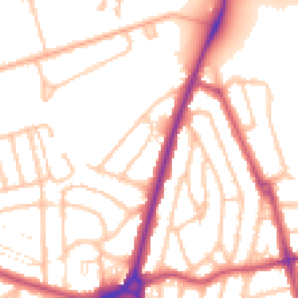
Daytime· 07:00 – 23:00
53.0dB

Night-time· 23:00 – 07:00
43.8dB