3 Highcombe Close, Bromley, London, SE9 4QH
About 3 Highcombe Close
3 Highcombe Close is a semi-detached house in Bromley, London, London (SE9 4QH). It has a recorded floor area of 132 m² (around 1421 sq ft), construction records dating it to 1930-1949 and council tax band E. The latest certificate (September 2019) shows a C (score 69), just inside the C band. The recommended improvements would push it to B (score 82).
At 132 m² the property is well over the postcode median (101 m² across 9 EPCs), placing it in the larger end of the local stock. Its energy rating outperforms most of the postcode (better than 89% of similar EPCs). 2 planning records sit against the property, 2 approved, 0 refused. Past consents include an extension and partial demolition, meaningful when judging how the property has evolved.
Everything you need to know about 3 Highcombe Close
The true value, the hidden risks and the full sale history, in one report.
30-day money-back guarantee

The data behind every report


Energy performance
EPC Rating
Planning history
Planning history includes recorded demolition works, indicating a major rebuild phase at this address.
- May 2018DemolitionFullIn report
Extension: Single storey · Side and rear of property
Single storey side/rear extension including demolition of existing conservatory and side garage.
- Agent
- TG Architecture Limited
Extension- Documents
- 6 docs on file
- Reference
- 18/01693/FULL6
- Feb 2003ExtensionFullIn report
Two storey side extension and single storey front extension
- Reference
- 02/04308/FULL1
We flagged 2 things worth checking at 3 Highcombe Close
Independent checks surfaced things a buyer would want to understand before offering. The report explains each one in full, with the underlying data and what to ask.
- Signs of HMO activity in the area
- Larger development activity nearby
30-day money-back guarantee
Sales history & valuation
3 Highcombe Close has no Land Registry sales on file, suggesting it has stayed in the same hands since registration began.
£692,000
Modelled from EPC, postcode comparables.
No sales recorded with HM Land Registry
That can mean the property has never traded since the registry began publishing in 1995, was a new build that hasn't been registered yet, or is held in the same hands long-term.
Median price across the last 5 sales in SE9 4QH: £537,500 (2025–2013).
Nearby sales in SE9 4QH
25 Highcombe Close, Bromley, London, SE9 4QH
Sold Aug 2025
£595,00011 Highcombe Close, Bromley, London, SE9 4QH
Sold Jul 2022
£620,00023 Highcombe Close, Bromley, London, SE9 4QH
Sold Mar 2017
£537,50033 Highcombe Close, Bromley, London, SE9 4QH
Sold Dec 2015
£380,00039 Highcombe Close, Bromley, London, SE9 4QH
Sold Oct 2013
£330,000
Versus other Highcombe Close homes
On habitable rooms, 3 Highcombe Close stands well clear of the street.
EPC Rating
69 (C)
Street avg 63 (D)
Floor Area
132 m²
Street avg 103 m²
CO₂ Emissions
4.2 t/year
Street avg 4.3 t/year
Habitable Rooms
6 rooms
Street avg 5 rooms
Everything you need to know about 3 Highcombe Close
The true value, the hidden risks and the full sale history, in one report.
30-day money-back guarantee
The data behind every report
Similar properties nearby
1 Beaconsfield Road, Bromley
SE9 4DJ
1 Elmhurst Road, Bromley
SE9 4DW
1 Avondale Road, Bromley
SE9 4SN
1 Clayhill Crescent, Lewisham
SE9 4JA
1 Dunkery Road, Lewisham
SE9 4HX
1 Ballantyne Close, Bromley
SE9 4EH
1 Blanchard Close, Bromley
SE9 4TZ
1 Duddington Close, Bromley
SE9 4JD
The neighbourhood at a glance
Rail-style transport is unusually close for this postcode.
Crime
6/mo
Rising year-on-year across the wider district.
Nearest stop
0.2 km
Eltham College — bus stop.
Closest school
0.7 km
Middle Park Primary School. 39 schools nearby.
Go deeper on the local area
The full report breaks down crime, transport links, schools and air quality in depth.
Road noise across the postcode
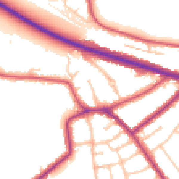
Daytime· 07:00 – 23:00
53.0dB

Night-time· 23:00 – 07:00
44.3dB