Flat 3, 2 Flodden Road, Lambeth, London, SE5 9LL
About Flat 3
Flat 3 is a property in Lambeth, London, London (SE5 9LL). It has council tax band D.
Energy performance
No EPC on record
This property doesn't have an Energy Performance Certificate yet. An EPC is required to sell or let — and unlocks our automated valuation.
Planning history
No planning applications are recorded against Flat 3, 2 Flodden Road, Lambeth, London, SE5 9LL. The full report also covers planning activity across the surrounding area.
Sales history & valuation
No sales recorded with HM Land Registry
That can mean the property has never traded since the registry began publishing in 1995, was a new build that hasn't been registered yet, or is held in the same hands long-term.
Median price across the last 5 sales in SE5 9LL: £370,000 (2024–2013).
Nearby sales in SE5 9LL
Flat 2, 2 Flodden Road, Lambeth, London, SE5 9LL
Sold May 2024
£370,000Flat 5, 2 Flodden Road, Lambeth, London, SE5 9LL
Sold Sept 2022
£360,150Flat 9, 2 Flodden Road, Lambeth, London, SE5 9LL
Sold Sept 2020
£440,000Flat 6, 2 Flodden Road, Lambeth, London, SE5 9LL
Sold Mar 2013
£273,0003 Flodden Road, Lambeth, London, SE5 9LL
Sold Sept 2012
£905,000
Similar properties nearby
12 20, Flat 1, Cambria Road, Lambeth
SE5 9AE
12 20, Flat 2, Cambria Road, Lambeth
SE5 9AE
12 20, Flat 3, Cambria Road, Lambeth
SE5 9AE
12 20, Flat 4, Cambria Road, Lambeth
SE5 9AE
12 20, Flat 5, Cambria Road, Lambeth
SE5 9AE
12 20, Flat 6, Cambria Road, Lambeth
SE5 9AE
12 20, Flat 7, Cambria Road, Lambeth
SE5 9AE
12 20, Flat 8, Cambria Road, Lambeth
SE5 9AE
The neighbourhood at a glance
Reported crime in the wider district is trending notably upward year-on-year.
Crime
13/mo
Rising year-on-year across the wider district.
Nearest stop
0.1 km
Wyndham Rd Camberwell — bus stop.
Closest school
0.1 km
Saint Gabriel's College. 103 schools nearby.
Road noise across the postcode
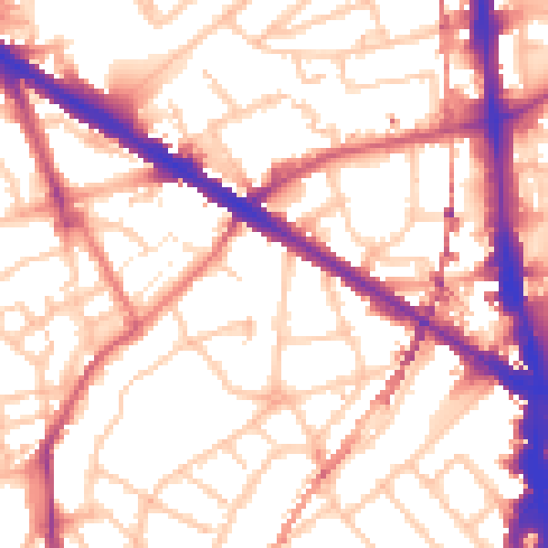
Daytime· 07:00 – 23:00
55.9dB
Night-time· 23:00 – 07:00
45.3dB