7 Blanchedowne, Southwark, London, SE5 8HT
About 7 Blanchedowne
7 Blanchedowne is a four-bedroom property in Southwark, London, London (SE5 8HT). It has council tax band C.
Untraded for 18 years, with the last transfer in April 2008. That sale landed at the peak of the pre-credit-crunch market, which is a useful reference point when interpreting the price.
Know exactly what you're buying at 7 Blanchedowne
Before you offer, see what the listing won't tell you, the true value, the red flags and the full history.
Already flagged here
Valuation
against the asking price
Risks
planning & flood
Sold prices
similar homes nearby
Trends
the local market
What this property has
Inside
- Bedrooms4
Energy performance
No EPC on record
This property doesn't have an Energy Performance Certificate yet. An EPC is required to sell or let — and unlocks our automated valuation.
Planning history
7 Blanchedowne has no planning applications on record.
Notable planning nearby
13applications of note in the surrounding area
We flagged 2 things worth checking at 7 Blanchedowne
Independent checks surfaced things a buyer would want to understand before offering. The report explains each one in full, with the underlying data and what to ask.
- Signs of HMO activity in the area
- Larger development activity nearby
30-day money-back guarantee
Sales history & valuation
The latest sale landed at the peak of the pre-credit-crunch market — a high-water reference point.
£338,000
Recorded with HM Land Registry.
Sales timeline
9 April 2008Most recent
£338,000
Median price across the last 5 sales in SE5 8HT: £561,000 (2023–2017).
Nearby sales in SE5 8HT
19 Blanchedowne, Southwark, London, SE5 8HT
Sold Feb 2023
£450,00015 Blanchedowne, Southwark, London, SE5 8HT
Sold Jul 2020
£561,0003 Blanchedowne, Southwark, London, SE5 8HT
Sold Feb 2020
£799,95013 Blanchedowne, Southwark, London, SE5 8HT
Sold Feb 2019
£575,00010 Blanchedowne, Southwark, London, SE5 8HT
Sold Oct 2017
£395,000
Everything we know about 7 Blanchedowne, in one report
What it's really worth, what could be wrong, and the planning, sales and area data in full.
What we flagged
- Signs of HMO activity in the area
- Larger development activity nearby

Similar properties nearby
1 Acland Crescent, Lambeth
SE5 8EQ
1 Deepdene Road, Lambeth
SE5 8EG
1 Chamberlain Cottages, Camberwell Grove, Southwark
SE5 8JD
1 Anderton Close, Southwark
SE5 8BU
1 Ashworth Close, Southwark
SE5 8SS
1 Champion Grove, Southwark
SE5 8BW
1 Dowson Close, Southwark
SE5 8AS
1 Blanchedowne, Southwark
SE5 8HT
The neighbourhood at a glance
Rail-style transport is unusually close for this postcode.
Crime
13/mo
Rising year-on-year across the wider district.
Nearest stop
0.1 km
Deepdene Road Herne Hill — bus stop.
Closest school
0.5 km
Bessemer Grange Primary School. 81 schools nearby.
Go deeper on the local area
The full report breaks down crime, transport links, schools and air quality in depth.
Road noise across the postcode
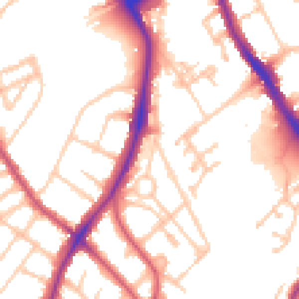
Daytime· 07:00 – 23:00
52.9dB

Night-time· 23:00 – 07:00
42.9dB