11 Blanchedowne, Southwark, London, SE5 8HT
About 11 Blanchedowne
11 Blanchedowne is a semi-detached house in Southwark, London, London (SE5 8HT). It has a recorded floor area of 92 m² (around 990 sq ft), construction records dating it to 1950-1966 and council tax band C. The latest certificate (October 2023) shows an E (score 54), well below the UK norm with real room to improve. The recommended improvements would lift it to C (score 79), a 2-band jump.
At 92 m² it's 24.3% larger than the typical home in the postcode (74 m² median across 19 EPCs). It lags the bulk of the postcode on energy efficiency (less efficient than 84% of similar EPCs).
Know exactly what you're buying at 11 Blanchedowne
Before you offer, see what the listing won't tell you, the true value, the red flags and the full history.
Already flagged here
Valuation
against the asking price
Risks
planning & flood
Sold prices
similar homes nearby
Trends
the local market
Energy performance
Recommended upgrades on file would lift this property by multiple EPC bands.
EPC Rating
Planning history
11 Blanchedowne has no planning applications on record.
Notable planning nearby
13applications of note in the surrounding area
We flagged 2 things worth checking at 11 Blanchedowne
Independent checks surfaced things a buyer would want to understand before offering. The report explains each one in full, with the underlying data and what to ask.
- Signs of HMO activity in the area
- Larger development activity nearby
30-day money-back guarantee
Sales history & valuation
11 Blanchedowne has no Land Registry sales on file, suggesting it has stayed in the same hands since registration began.
£547,000
Modelled from EPC, postcode comparables.
No sales recorded with HM Land Registry
That can mean the property has never traded since the registry began publishing in 1995, was a new build that hasn't been registered yet, or is held in the same hands long-term.
Median price across the last 5 sales in SE5 8HT: £561,000 (2023–2017).
Nearby sales in SE5 8HT
19 Blanchedowne, Southwark, London, SE5 8HT
Sold Feb 2023
£450,00015 Blanchedowne, Southwark, London, SE5 8HT
Sold Jul 2020
£561,0003 Blanchedowne, Southwark, London, SE5 8HT
Sold Feb 2020
£799,95013 Blanchedowne, Southwark, London, SE5 8HT
Sold Feb 2019
£575,00010 Blanchedowne, Southwark, London, SE5 8HT
Sold Oct 2017
£395,000
Everything we know about 11 Blanchedowne, in one report
What it's really worth, what could be wrong, and the planning, sales and area data in full.
What we flagged
- Signs of HMO activity in the area
- Larger development activity nearby

Versus other Blanchedowne homes
EPC Rating for 11 Blanchedowne lags the street by a wide margin.
EPC Rating
54 (E)
Street avg 66 (D)
Floor Area
92 m²
Street avg 92 m²
CO₂ Emissions
4.4 t/year
Street avg 3.3 t/year
Habitable Rooms
4 rooms
Street avg 5 rooms
Similar properties nearby
1 Blanchedowne, Southwark
SE5 8HT
1 Anderton Close, Southwark
SE5 8BU
1 Chamberlain Cottages, Camberwell Grove, Southwark
SE5 8JD
1 Camberwell Grove, Southwark
SE5 8JA
1 Ashworth Close, Southwark
SE5 8SS
1 Dowson Close, Southwark
SE5 8AS
1 7, Flat 3, Wren Road
SE5 8QS
1 7, Flat 2, Wren Road
SE5 8QS
The neighbourhood at a glance
Rail-style transport is unusually close for this postcode.
Crime
13/mo
Rising year-on-year across the wider district.
Nearest stop
0.1 km
Deepdene Road Herne Hill — bus stop.
Closest school
0.5 km
Bessemer Grange Primary School. 81 schools nearby.
Go deeper on the local area
The full report breaks down crime, transport links, schools and air quality in depth.
Road noise across the postcode
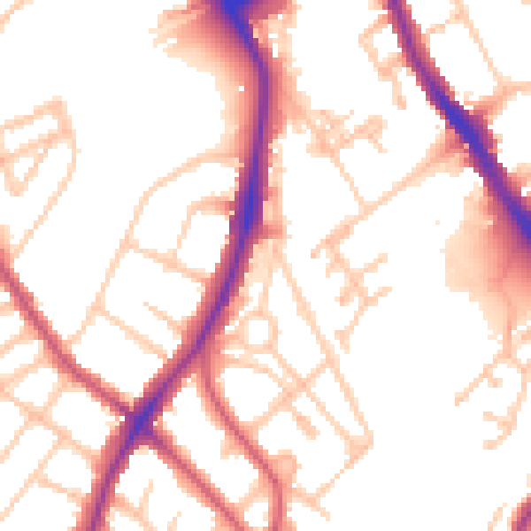
Daytime· 07:00 – 23:00
52.9dB

Night-time· 23:00 – 07:00
42.9dB