Oak House, Flat 5, Rokeby Road, Lewisham, London, SE4 1DD
About Oak House
Oak House is a mid-terrace house in Lewisham, London, London (SE4 1DD). It has a recorded floor area of 62 m² (around 667 sq ft), construction records dating it to 1950-1966 and council tax band B. The latest certificate (September 2025) shows a C (score 74). The recommended improvements would push it to B (score 81).
Everything you need to know about Oak House
The true value, the hidden risks and the full sale history, in one report.
Pick your report · every report is £14.99
One time fee only - money back guarantee

The data behind every report


Energy performance
EPC Rating
Get a survey for this property
Level 3 Building Survey
Because the property has solid (non-cavity) walls, we believe a Level 3 building survey should be considered.
From £955 · Includes VAT
Planning history
Oak House has no planning applications on record.
But the area is active
19 notable applications nearby — larger schemes and conversions that could reshape the street. The report maps them all.
Sales history & valuation
Oak House has no Land Registry sales on file, suggesting it has stayed in the same hands since registration began.
£340,000
Modelled from EPC, postcode comparables.
No sales recorded with HM Land Registry
That can mean the property has never traded since the registry began publishing in 1995, was a new build that hasn't been registered yet, or is held in the same hands long-term.
Everything you need to know about Oak House
The true value, the hidden risks and the full sale history, in one report.
Pick your report · every report is £14.99
One time fee only - money back guarantee
The data behind every report
Similar properties nearby
1 3, Flat 1, Ashby Road, Lewisham
SE4 1PR
1 3, Flat 7, Ashby Road, Lewisham
SE4 1PR
1 3, Flat 9, Ashby Road, Lewisham
SE4 1PR
1 3, Flat 8, Ashby Road, Lewisham
SE4 1PR
1 2, Flat 12, Vulcan Terrace, Lewisham
SE4 1DA
145a, Flat 3, Manwood Road, Lewisham
SE4 1SA
158b, Flat 2, Lewisham Way, Lewisham
SE4 1UU
158a, Flat 2, Lewisham Way, Lewisham
SE4 1UU
The neighbourhood at a glance
Rail-style transport is unusually close for this postcode.
Crime
7/mo
Rising year-on-year across the wider district.
Nearest stop
0.2 km
Vesta Road — bus stop.
Closest school
0.1 km
Myatt Garden Primary School. 74 schools nearby.
Go deeper on the local area
A Local Area report breaks down crime, transport links, schools and air quality in depth.
Road noise across the postcode
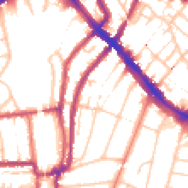
Daytime· 07:00 – 23:00
53.5dB
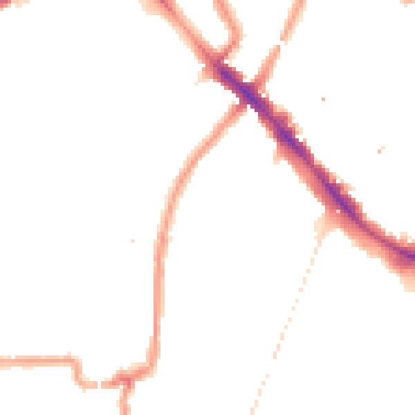
Night-time· 23:00 – 07:00
43.5dB