25a, Vanbrugh Hill, Greenwich, London, SE3 7UE
About 25a
25a is a property in Greenwich, London, London (SE3 7UE).
Held since March 2002 — that's 24 years off the open market, well above the local norm. One planning record on file: an extension approved in 2015. Past consents include an extension, meaningful when judging how the property has evolved.
Know exactly what you're buying at 25a
Before you offer, see what the listing won't tell you, the true value, the red flags and the full history.
Valuation
against the asking price
Risks
planning & flood
Sold prices
similar homes nearby
Trends
the local market
Energy performance
No EPC on record
This property doesn't have an Energy Performance Certificate yet. An EPC is required to sell or let — and unlocks our automated valuation.
Planning history
25a has an approved single-storey rear extension on the planning record.
- Feb 2015ExtensionFullIn report
Extension: Single storey · Rear of property
Construction of a single storey rear extension.
- Agent
- Neal Tuson Architects
- Documents
- 11 docs on file
- Reference
- 14/3574/F
What's in 25a, Vanbrugh Hill, Greenwich, London, SE3 7UE's planning history?
Refusals, disputes and full decisions on this property and nearby, in the report.
Sales history & valuation
£233,000
Recorded with HM Land Registry.
Sales timeline
15 March 2002Most recent
£233,000
Median price across the last 5 sales in SE3 7UE: £695,000 (2025–2019).
Nearby sales in SE3 7UE
17a, Vanbrugh Hill, Greenwich, London, SE3 7UE
Sold Mar 2025
£580,00025b 25c, Vanbrugh Hill, Greenwich, London, SE3 7UE
Sold Jan 2025
£695,00015 Vanbrugh Hill, Greenwich, London, SE3 7UE
Sold Aug 2024
£1,950,00013c, Vanbrugh Hill, Greenwich, London, SE3 7UE
Sold Jan 2023
£698,7501a, Flat D, Vanbrugh Hill, London, SE3 7UE
Sold Feb 2019
£450,000
Everything we know about 25a, in one report
What it's really worth, what could be wrong, and the planning, sales and area data in full.
- Am I paying too much?
- Is something wrong with it?
- Is the agent's story true?
- Will it hold its value?

Similar properties nearby
1 Ferndale Court, Westcombe Park Road, Greenwich
SE3 7QU
1 Leamington Court, Restell Close, Greenwich
SE3 7RD
1 Parkside, Vanbrugh Fields, Greenwich
SE3 7QQ
1 Pinelands Close, St Johns Park, Greenwich
SE3 7TF
1 Lambourne Place, Greenwich
SE3 7BH
1 Primrose Mews, Greenwich
SE3 7JZ
1 Beaconsfield Close, Greenwich
SE3 7LL
1 Seren Park Gardens, Greenwich
SE3 7RP
The neighbourhood at a glance
Rail-style transport is unusually close for this postcode.
Crime
10/mo
Rising year-on-year across the wider district.
Nearest stop
0.0 km
Ulundi Road — bus stop.
Closest school
0.3 km
The John Roan School. 59 schools nearby.
Go deeper on the local area
The full report breaks down crime, transport links, schools and air quality in depth.
Road noise across the postcode
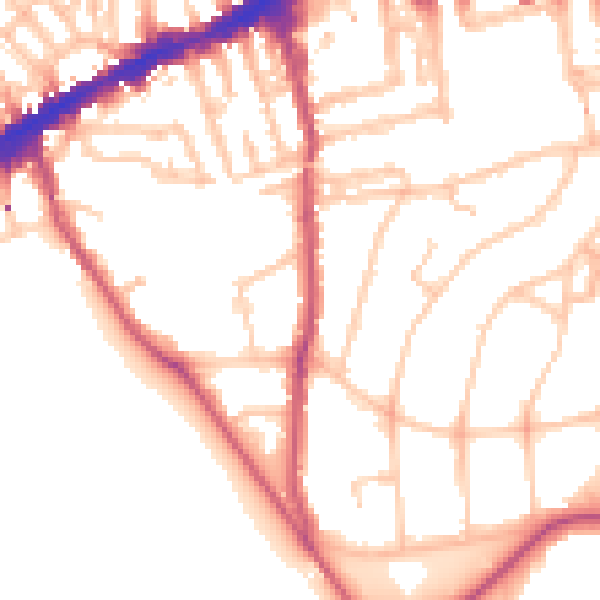
Daytime· 07:00 – 23:00
52.3dB

Night-time· 23:00 – 07:00
41.8dB