25 St Josephs Vale, Lewisham, London, SE3 0XF
About 25 St Josephs Vale
25 St Josephs Vale is a three-bedroom mid-terrace house in Lewisham, London, London (SE3 0XF). It has a recorded floor area of 72 m² (around 775 sq ft), construction records dating it to 1930-1949 and council tax band F. The latest certificate (June 2021) shows a C (score 71). The rating has held steady at C across 2 certificates since June 2011. Between certificates, lighting went from Very Poor to Very Good; while wall efficiency dropped from Good to Poor and roof efficiency dropped from Good to Average. The recommended improvements would push it to B (score 88).
One planning record on file: tree works approved in 2016. Past consents include tree works, meaningful when judging how the property has evolved. Across 1996–2021, sale prices on this property compounded at 7.2% per year. Today's modelled estimate of £788,000 is 16.7% above the 2021 sale price. On a £-per-square-foot basis, the last sale (£871/sq ft) was about 137.2% above the typical sold price in the postcode. Last sale on file: £675,000 in December 2021. That sale was during the post-pandemic price surge, when transactions cleared materially above pre-2020 trend.
Know exactly what you're buying at 25 St Josephs Vale
Before you offer, see what the listing won't tell you, the true value, the red flags and the full history.
Valuation
against the asking price
Risks
planning & flood
Sold prices
similar homes nearby
Trends
the local market
What this property has
Inside
- Bedrooms3
- Bathrooms2
- CloakroomYes
- EnsuiteYes
Building
- RefurbishedYes
Energy performance
EPC Rating
Property Improvements
Changes detected from historical EPC data
Heating controls changed
Windows upgraded, improving insulation
More low energy lighting installed
Planning history
- Feb 2016Tree WorksConditionsIn report
Area TPO(1973) Former Heath Lane - Now At Joseph Vale:Retrospective TPO-Application to prune X 6 Lime (Tilia spp) and X Cherry (Prunus spp) with 30% Crown reduction.(Pollard)
Retrospective- Documents
- 2 docs on file
- Reference
- DC/16/095180
What's in 25 St Josephs Vale, Lewisham, London, SE3 0XF's planning history?
Refusals, disputes and full decisions on this property and nearby, in the report.
Sales history & valuation
25 St Josephs Vale has more than quadrupled in price since its earliest registered sale in 1996.
£788,000
Modelled from EPC, postcode comparables and a sale-price growth of 7.2% per year over 25 years.
£675,000
Growth on file: 7.2% per year over 25 years.
Sales timeline
2 December 2021Most recent
£675,000
+106.1%over 15 years27 April 2006
£327,500
+21.3%over 3 years27 June 2002
£269,950
+130.7%over 5 years10 October 1996
£117,000
Median price across the last 5 sales in SE3 0XF: £750,000 (2024–2021).
Nearby sales in SE3 0XF
24 St Josephs Vale, Lewisham, London, SE3 0XF
Sold Nov 2024
£775,0003 St Josephs Vale, Lewisham, London, SE3 0XF
Sold Aug 2024
£750,00014 St Josephs Vale, Lewisham, London, SE3 0XF
Sold May 2024
£625,00029 St Josephs Vale, Lewisham, London, SE3 0XF
Sold Mar 2022
£755,0009 St Josephs Vale, Lewisham, London, SE3 0XF
Sold Nov 2021
£545,000
Everything we know about 25 St Josephs Vale, in one report
What it's really worth, what could be wrong, and the planning, sales and area data in full.
- Am I paying too much?
- Is something wrong with it?
- Is the agent's story true?
- Will it hold its value?

Versus other St Josephs Vale homes
On floor area, 25 St Josephs Vale runs well behind the street norm.
Price per m²
£9,375
Street avg £6,369
Floor Area
72 m²
Street avg 94 m²
Habitable Rooms
4 rooms
Street avg 5 rooms
CO₂ Emissions
2.3 t/year
Street avg 3.1 t/year
Similar properties nearby
1 Eliot Vale, Lewisham
SE3 0UU
1 Holm Walk, Greenwich
SE3 0HD
1 Delme Crescent, Greenwich
SE3 0ED
1 Collins Square, Lewisham
SE3 0BT
1 Brigade Street, Lewisham
SE3 0TW
1 Eliot Cottages, Hare & Billet Road, Lewisham
SE3 0QJ
1 Collins Street, Lewisham
SE3 0UG
1 Dover Patrol, Greenwich
SE3 0DW
The neighbourhood at a glance
Rail-style transport is unusually close for this postcode.
Crime
10/mo
Rising year-on-year across the wider district.
Nearest stop
0.3 km
St Margaret's Church / Brandram Road — bus stop.
Closest school
0.2 km
Christ The King Sixth Form College. 68 schools nearby.
Go deeper on the local area
The full report breaks down crime, transport links, schools and air quality in depth.
Road noise across the postcode
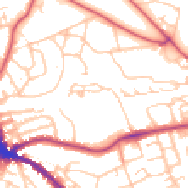
Daytime· 07:00 – 23:00
52.8dB

Night-time· 23:00 – 07:00
41.9dB