1 Perifield, Lambeth, London, SE21 8NG
About 1 Perifield
1 Perifield is a property in Lambeth, London, London (SE21 8NG). It has council tax band F.
Untraded for 25 years, with the last transfer in June 2001.
Everything you need to know about 1 Perifield
The true value, the hidden risks and the full sale history, in one report.
Pick your report · every report is £14.99
One time fee only - money back guarantee

The data behind every report


Energy performance
No EPC on record
This property doesn't have an Energy Performance Certificate yet. An EPC is required to sell or let — and unlocks our automated valuation.
Get a survey for this property
Level 2 HomeBuyer Report
We've checked 10 risk factors against the available data for this property and believe a Level 2 HomeBuyer Report could be a suitable option for you.
Planning history
1 Perifield has no planning applications on record.
But the area is active
1 notable application nearby — larger schemes and conversions that could reshape the street. The report maps them all.
Sales history & valuation
£250,000
Recorded with HM Land Registry.
Sales timeline
21 June 2001Most recent
£250,000
Median price across the last 5 sales in SE21 8NG: £775,000 (2021–2013).
Nearby sales in SE21 8NG
Everything you need to know about 1 Perifield
The true value, the hidden risks and the full sale history, in one report.
Pick your report · every report is £14.99
One time fee only - money back guarantee
The data behind every report
Similar properties nearby
1 Birkbeck Hill, Lambeth
SE21 8JS
1 Alleyn Crescent, Southwark
SE21 8BN
1 Cokers Lane, Lambeth
SE21 8NF
1 Charles Nex Mews, Lambeth
SE21 8HW
1 Loggetts, Alleyn Park, Southwark
SE21 8AS
1 Lincoln Mews, Thurlow Park Road, Lambeth
SE21 8HP
1 Coney Acre, Lambeth
SE21 8LL
1 Chalford Road, Lambeth
SE21 8BX
The neighbourhood at a glance
Rail-style transport is unusually close for this postcode.
Crime
6/mo
Rising year-on-year across the wider district.
Nearest stop
0.1 km
Thurlow Park Road/Croxted Road — bus stop.
Closest school
0.5 km
Rosendale Primary School. 64 schools nearby.
Go deeper on the local area
A Local Area report breaks down crime, transport links, schools and air quality in depth.
Road noise across the postcode
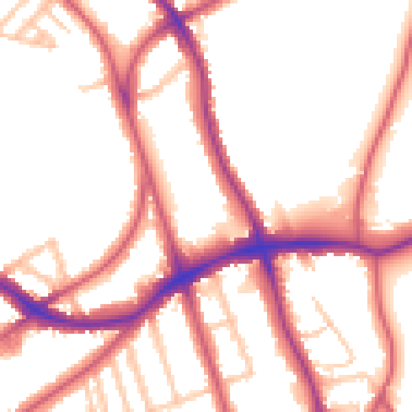
Daytime· 07:00 – 23:00
53.4dB

Night-time· 23:00 – 07:00
44.3dB