3 Grovebury Road, Greenwich, London, SE2 9YA
About 3 Grovebury Road
3 Grovebury Road is a two-bedroom end-of-terrace house in Greenwich, London, London (SE2 9YA). It has a recorded floor area of 70 m² (around 753 sq ft), construction records dating it to 1950-1966 and council tax band A. At 70 m² this is the 12th smallest of 21 units on EPC record in the building, where floor areas span 41–112 m². The building's EPC ratings span E to B across 21 units on file. Other recorded features include a balcony. The latest certificate (January 2021) shows a D (score 68), on the cusp of jumping into the C band. The recommended improvements would push it to C (score 75).
It lags the bulk of the postcode on energy efficiency (less efficient than 80% of similar EPCs). Today's modelled estimate of £241,000 is 14.8% above the 2021 sale price. On a £-per-square-foot basis, the last sale (£279/sq ft) was about 48.3% above the typical sold price in the postcode. Sold August 2021 for £210,000. That sale was during the post-pandemic price surge, when transactions cleared materially above pre-2020 trend.
What this property has
Inside
- Bedrooms2
- Bathrooms1
- Dining roomYes
- CloakroomYes
Outside
- Private gardenYes
- BalconyYes
Building
- Heating systemGas
- LiftYes
Everything you need to know about 3 Grovebury Road
The true value, the hidden risks and the full sale history, in one report.
Pick your report · every report is £14.99
One time fee only - money back guarantee

The data behind every report


Energy performance
EPC Rating
Get a survey for this property
Level 2 HomeBuyer Report
We've checked 10 risk factors against the available data for this property and believe a Level 2 HomeBuyer Report could be a suitable option for you.
From £545 · Includes VAT
Planning history
3 Grovebury Road has no planning applications on record.
But the area is active
12 notable applications nearby — larger schemes and conversions that could reshape the street. The report maps them all.
Sales history & valuation
The latest sale landed in the post-pandemic price surge — useful context when reading the figure.
£241,000
Modelled from EPC, postcode comparables.
£210,000
Recorded with HM Land Registry.
Sales timeline
26 August 2021Most recent
£210,000
Median price across the last 5 sales in SE2 9YA: £250,000 (2022–2009).
Nearby sales in SE2 9YA
4 Grovebury Road, Greenwich, London, SE2 9YA
Sold Jul 2022
£426,5008 Grovebury Road, Greenwich, London, SE2 9YA
Sold Dec 2021
£415,00014 Grovebury Road, Greenwich, London, SE2 9YA
Sold Oct 2014
£250,0001 Grovebury Road, Greenwich, London, SE2 9YA
Sold Jul 2013
£198,00010 Grovebury Road, Greenwich, London, SE2 9YA
Sold Apr 2009
£205,000
Versus other Grovebury Road homes
On floor area, 3 Grovebury Road stands well clear of the street.
EPC Rating
68 (D)
Street avg 72 (C)
Floor Area
70 m²
Street avg 58 m²
CO₂ Emissions
2.6 t/year
Street avg 1.9 t/year
Habitable Rooms
3 rooms
Street avg 3 rooms
Everything you need to know about 3 Grovebury Road
The true value, the hidden risks and the full sale history, in one report.
Pick your report · every report is £14.99
One time fee only - money back guarantee
The data behind every report
Similar properties nearby
1 Devenish Road, Greenwich
SE2 9DA
1 Chalcombe Road, Greenwich
SE2 9QT
1 Grovebury Road, Greenwich
SE2 9YA
1 Boxgrove Road, Greenwich
SE2 9JZ
1 Edington Road, Greenwich
SE2 9JU
1 Birkdale Road, Greenwich
SE2 9HU
1 Cookhill Road, Greenwich
SE2 9PD
1 Godstow Road, Greenwich
SE2 9AT
The neighbourhood at a glance
Rail-style transport is unusually close for this postcode.
Crime
7/mo
Rising year-on-year across the wider district.
Nearest stop
0.1 km
The Birchwood — bus stop.
Closest school
0.3 km
De Lucy Primary School. 39 schools nearby.
Go deeper on the local area
A Local Area report breaks down crime, transport links, schools and air quality in depth.
Road noise across the postcode
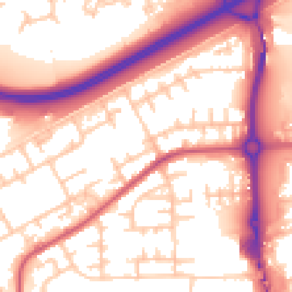
Daytime· 07:00 – 23:00
57.0dB

Night-time· 23:00 – 07:00
47.4dB