13a, Florence Road, Bexley, London, SE2 9HB
About 13a
13a is a two-bedroom end-of-terrace house in Bexley, London, London (SE2 9HB). It has a recorded floor area of 44 m² (around 474 sq ft), construction records dating it to 1950-1966 and council tax band B. At 44 m² this is the smallest unit on EPC record across the building (44–123 m²). The building's EPC ratings span D to C, with this unit at the bottom. The latest certificate (March 2022) shows a D (score 66), on the cusp of jumping into the C band. The rating has held steady at D across 2 certificates since November 2008. Between certificates, lighting went from Very Poor to Very Good. The recommended improvements would push it to C (score 77).
At 44 m² it sits well below the postcode median (72 m² across 9 EPCs), making it one of the more compact homes locally. Across 2003–2022, sale prices on this property compounded at 4.7% per year. On a £-per-square-foot basis, the last sale (£496/sq ft) was about 157.1% above the typical sold price in the postcode. 2 planning records sit against the property, 0 approved, 2 refused. Sold September 2022 for £235,000. That sale was during the post-pandemic price surge, when transactions cleared materially above pre-2020 trend.
What this property has
Inside
- Bedrooms2
- Bathrooms1
- Open-plan layoutYes
Outside
- Private gardenYes
Everything you need to know about 13a
The true value, the hidden risks and the full sale history, in one report.
Pick your report · every report is £14.99
One time fee only - money back guarantee

The data behind every report


Energy performance
EPC Rating
Property Improvements
Changes detected from historical EPC data
More low energy lighting installed
Get a survey for this property
Level 3 Building Survey
Because the property has solid (non-cavity) walls, we believe a Level 3 building survey should be considered.
From £885 · Includes VAT
Planning history
2 applications on record at 13a, Florence Road, Bexley, London, SE2 9HB
- Jun 2010BasementFullOutcome in report
Erection of a detached two bedroom house incorporating a basement and provision of a car space.
- Documents
- 8 docs on file
- Reference
- 09/01688/FUL
- More recent applications — locked
- New BuildAug 2011Decision
Unlock 13a, Florence Road, Bexley, London, SE2 9HB's full planning history
You're seeing the shape of it. The report has the substance.
- Every decision — granted, refused or withdrawn (2 on record)
- All 2 applications on this property in full, plus 12 notable nearby
- The 17 documents, officer reports & conditions
- What the pattern means for extending or converting here
One time fee only - money back guarantee
Sales history & valuation
Sale price has at least doubled since 2003.
£254,000
Modelled from EPC, postcode comparables and a sale-price growth of 4.7% per year over 19 years.
£235,000
Growth on file: 4.7% per year over 19 years.
Sales timeline
8 September 2022Most recent
£235,000
+67.9%over 18 years14 January 2004
£140,000
+40.0%1 December 2003
£100,000
Median price across the last 5 sales in SE2 9HB: £265,000 (2021–2013).
Nearby sales in SE2 9HB
3 Florence Road, Bexley, London, SE2 9HB
Sold Jul 2021
£385,00011 Florence Road, Bexley, London, SE2 9HB
Sold Oct 2016
£325,00023 Florence Road, Bexley, London, SE2 9HB
Sold Aug 2014
£265,0007 Florence Road, Bexley, London, SE2 9HB
Sold Dec 2013
£205,00013b, Florence Road, Bexley, London, SE2 9HB
Sold Feb 2005
£150,000
Everything you need to know about 13a
The true value, the hidden risks and the full sale history, in one report.
Pick your report · every report is £14.99
One time fee only - money back guarantee
The data behind every report
Similar properties nearby
1 Devenish Road, Greenwich
SE2 9DA
1 Chalcombe Road, Greenwich
SE2 9QT
1 Grovebury Road, Greenwich
SE2 9YA
1 Boxgrove Road, Greenwich
SE2 9JZ
1 Edington Road, Greenwich
SE2 9JU
1 Birkdale Road, Greenwich
SE2 9HU
1 Ampleforth Road, Greenwich
SE2 9BD
1 Cookhill Road, Greenwich
SE2 9PD
The neighbourhood at a glance
Rail-style transport is unusually close for this postcode.
Crime
7/mo
Rising year-on-year across the wider district.
Nearest stop
0.0 km
Harrow Manorway / Abbey Wood Station — bus stop.
Closest school
0.5 km
Boxgrove Primary School. 45 schools nearby.
Go deeper on the local area
A Local Area report breaks down crime, transport links, schools and air quality in depth.
Road noise across the postcode
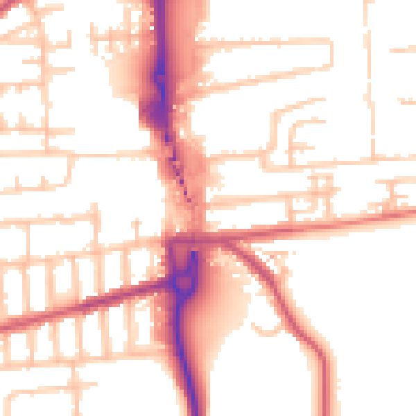
Daytime· 07:00 – 23:00
53.5dB
Night-time· 23:00 – 07:00
43.3dB