273 Woolwich Road, Bexley, London, SE2 0AR
About 273 Woolwich Road
273 Woolwich Road is a semi-detached house in Bexley, London, London (SE2 0AR). It has a recorded floor area of 71 m² (around 764 sq ft), construction records dating it to 2007-2011 and council tax band C. The latest certificate (March 2021) returns a B (score 82), comfortably above the UK average. The rating has held steady at B across 2 certificates since November 2009. Between certificates, lighting went from Average to Very Good; while wall efficiency dropped from Very Good to Good and window efficiency dropped from Very Good to Good. At 71 m² this is the 6th smallest of 10 units on EPC record in the building, where floor areas span 46–127 m². The building's EPC ratings span G to B, with this unit at the top.
Everything you need to know about 273 Woolwich Road
The true value, the hidden risks and the full sale history, in one report.
Pick your report · every report is £14.99
One time fee only - money back guarantee

The data behind every report


Energy performance
273 Woolwich Road's carbon output is low for the local stock.
EPC Rating
Property Improvements
Changes detected from historical EPC data
Hot water efficiency decreased
More low energy lighting installed
Get a survey for this property
Level 2 HomeBuyer Report
We've checked 10 risk factors against the available data for this property and believe a Level 2 HomeBuyer Report could be a suitable option for you.
From £545 · Includes VAT
Planning history
273 Woolwich Road has no planning applications on record.
But the area is active
44 notable applications nearby — larger schemes and conversions that could reshape the street. The report maps them all.
Sales history & valuation
273 Woolwich Road has no Land Registry sales on file, suggesting it has stayed in the same hands since registration began.
£279,000
Modelled from EPC, postcode comparables.
No sales recorded with HM Land Registry
That can mean the property has never traded since the registry began publishing in 1995, was a new build that hasn't been registered yet, or is held in the same hands long-term.
Median price across the last 5 sales in SE2 0AR: £455,000 (2021–2006).
Versus other Woolwich Road homes
EPC Rating for 273 Woolwich Road lags the street by a wide margin.
EPC Rating
82 (B)
Street avg 84 (B)
Floor Area
71 m²
Street avg 59 m²
CO₂ Emissions
1.2 t/year
Street avg 1.2 t/year
Everything you need to know about 273 Woolwich Road
The true value, the hidden risks and the full sale history, in one report.
Pick your report · every report is £14.99
One time fee only - money back guarantee
The data behind every report
Similar properties nearby
1 Dianthus Close, Greenwich
SE2 0UX
1 Duckworth Terrace, Greenwich
SE2 0BD
1 Harvel Crescent, Bexley
SE2 0PT
1 Alexander Terrace, Fuchsia Street, Greenwich
SE2 0TJ
1 Knee Hill Crescent, Greenwich
SE2 0YL
1 Dahlia Road, Greenwich
SE2 0SU
1 Carnation Street, Greenwich
SE2 0UZ
1 Bayley Walk, Bexley
SE2 0DL
The neighbourhood at a glance
Reported crime in the wider district is trending notably upward year-on-year.
Crime
7/mo
Rising year-on-year across the wider district.
Nearest stop
0.1 km
Hurst Lane — bus stop.
Closest school
0.6 km
Bedonwell Infant and Nursery School. 54 schools nearby.
Go deeper on the local area
A Local Area report breaks down crime, transport links, schools and air quality in depth.
Road noise across the postcode
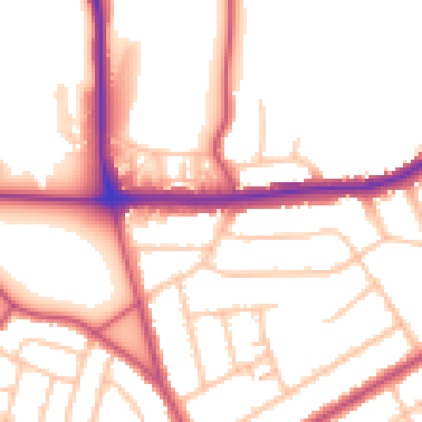
Daytime· 07:00 – 23:00
52.5dB

Night-time· 23:00 – 07:00
42.3dB