12 Majendie Road, Greenwich, London, SE18 7QB
About 12 Majendie Road
12 Majendie Road is a property in Greenwich, London, London (SE18 7QB). It has council tax band C.
It hasn't traded since January 1995, a hold of 31 years that's notably long for the area. Only one transfer is on record with HM Land Registry, suggesting it has stayed in the same hands for a long time.
Everything you need to know about 12 Majendie Road
The true value, the hidden risks and the full sale history, in one report.
Pick your report · every report is £14.99
One time fee only - money back guarantee

The data behind every report


Energy performance
No EPC on record
This property doesn't have an Energy Performance Certificate yet. An EPC is required to sell or let — and unlocks our automated valuation.
Get a survey for this property
Level 2 HomeBuyer Report
We've checked 10 risk factors against the available data for this property and believe a Level 2 HomeBuyer Report could be a suitable option for you.
Planning history
12 Majendie Road has no planning applications on record.
But the area is active
59 notable applications nearby — larger schemes and conversions that could reshape the street. The report maps them all.
Sales history & valuation
12 Majendie Road has been held in the same hands since before 2000.
£30,676
Recorded with HM Land Registry.
Sales timeline
4 January 1995Most recent
£30,676
Median price across the last 5 sales in SE18 7QB: £384,000 (2024–2023).
Nearby sales in SE18 7QB
13 Majendie Road, Greenwich, London, SE18 7QB
Sold Nov 2024
£415,00017 Majendie Road, Greenwich, London, SE18 7QB
Sold Aug 2024
£384,00029 Majendie Road, Greenwich, London, SE18 7QB
Sold Jul 2024
£265,0001 Majendie Road, Greenwich, London, SE18 7QB
Sold Mar 2023
£325,00022 Majendie Road, Greenwich, London, SE18 7QB
Sold Jun 2022
£380,000
Everything you need to know about 12 Majendie Road
The true value, the hidden risks and the full sale history, in one report.
Pick your report · every report is £14.99
One time fee only - money back guarantee
The data behind every report
Similar properties nearby
1 Arthur Grove, Greenwich
SE18 7ES
1 Augustus Terrace, Griffin Road, Greenwich
SE18 7AY
1 Blendon Terrace, Greenwich
SE18 7RS
1 Bloomfield Villas, Bloomfield Road, Greenwich
SE18 7JY
1 Bramblebury Road, Greenwich
SE18 7TF
1 Burrage Grove, Greenwich
SE18 7LJ
1 Burwash Road, Greenwich
SE18 7QY
1 Butterfield Mews, Sandy Hill Road, Greenwich
SE18 7BD
The neighbourhood at a glance
Rail-style transport is unusually close for this postcode.
Crime
13/mo
Rising year-on-year across the wider district.
Nearest stop
0.1 km
Brewery Road (SE18) — bus stop.
Closest school
0.1 km
South Rise Primary School. 46 schools nearby.
Go deeper on the local area
A Local Area report breaks down crime, transport links, schools and air quality in depth.
Road noise across the postcode
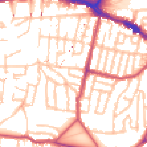
Daytime· 07:00 – 23:00
53.5dB

Night-time· 23:00 – 07:00
41.9dB