1 Godfrey Road, Greenwich, London, SE18 5HD
About 1 Godfrey Road
1 Godfrey Road is an end-of-terrace house in Greenwich, London, London (SE18 5HD). It has a recorded floor area of 31 m² (around 334 sq ft), construction records dating it to 1950-1966 and council tax band A. At 31 m² this is the 2nd smallest of 21 units on EPC record in the building, where floor areas span 30–90 m². The building's EPC ratings span E to C across 21 units on file. The latest certificate (September 2020) shows a D (score 62), on the cusp of jumping into the C band. The recommended improvements would push it to C (score 75).
At 31 m² it sits well below the postcode median (73 m² across 20 EPCs), making it one of the more compact homes locally.
Everything you need to know about 1 Godfrey Road
The true value, the hidden risks and the full sale history, in one report.
Pick your report · every report is £14.99
One time fee only - money back guarantee

The data behind every report


Energy performance
EPC Rating
Get a survey for this property
Level 2 HomeBuyer Report
We've checked 10 risk factors against the available data for this property and believe a Level 2 HomeBuyer Report could be a suitable option for you.
From £495 · Includes VAT
Planning history
1 Godfrey Road has no planning applications on record.
But the area is active
7 notable applications nearby — larger schemes and conversions that could reshape the street. The report maps them all.
Sales history & valuation
1 Godfrey Road has no Land Registry sales on file, suggesting it has stayed in the same hands since registration began.
£174,000
Modelled from EPC, postcode comparables.
No sales recorded with HM Land Registry
That can mean the property has never traded since the registry began publishing in 1995, was a new build that hasn't been registered yet, or is held in the same hands long-term.
Median price across the last 5 sales in SE18 5HD: £251,000 (2024–2014).
Versus other Godfrey Road homes
Habitable Rooms for 1 Godfrey Road lags the street by a wide margin.
EPC Rating
62 (D)
Street avg 68 (D)
Floor Area
31 m²
Street avg 67 m²
CO₂ Emissions
2.0 t/year
Street avg 2.6 t/year
Habitable Rooms
1 rooms
Street avg 3 rooms
Everything you need to know about 1 Godfrey Road
The true value, the hidden risks and the full sale history, in one report.
Pick your report · every report is £14.99
One time fee only - money back guarantee
The data behind every report
Similar properties nearby
1 Kingsman Street, Greenwich
SE18 5QF
1 Greenlaw Street, Greenwich
SE18 5AW
1 Defiance Walk, Greenwich
SE18 5QL
1 Gorman Road, Greenwich
SE18 5SA
1 Pellipar Gardens, Greenwich
SE18 5EG
1 Antelope Road, Greenwich
SE18 5PN
1 Lamport Close, Greenwich
SE18 5PY
1 Bowling Green Row, Greenwich
SE18 5LH
The neighbourhood at a glance
Rail-style transport is unusually close for this postcode.
Crime
13/mo
Rising year-on-year across the wider district.
Nearest stop
0.2 km
Red Barracks Road — bus stop.
Closest school
0.2 km
Woodhill Primary School. 49 schools nearby.
Go deeper on the local area
A Local Area report breaks down crime, transport links, schools and air quality in depth.
Road noise across the postcode
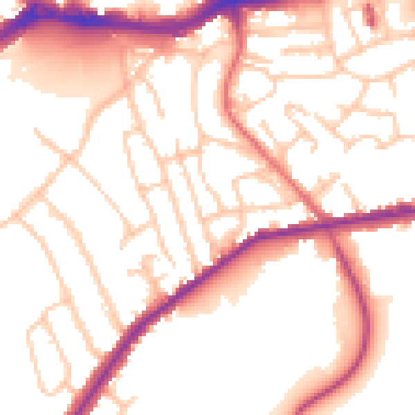
Daytime· 07:00 – 23:00
53.4dB

Night-time· 23:00 – 07:00
43.8dB