12 Centurion Square, Greenwich, London, SE18 4GW
About 12 Centurion Square
12 Centurion Square is a mid-terrace house in Greenwich, London, London (SE18 4GW). It has a recorded floor area of 106 m² (around 1141 sq ft), construction records dating it to 2003-2006 and council tax band D. The latest certificate (September 2012) shows a C (score 77), near the top of the C band. The recommended improvements would push it to B (score 88). The latest certificate is from September 2012, so improvements made since then won't be reflected.
Everything you need to know about 12 Centurion Square
The true value, the hidden risks and the full sale history, in one report.
Pick your report · every report is £14.99
One time fee only - money back guarantee

The data behind every report


Energy performance
12 Centurion Square's EPC is over a decade old — improvements since won't be reflected.
EPC Expired
This certificate is over 10 years old and is no longer valid.Expired 05 Sept 2022
EPC Rating
Get a survey for this property
Level 2 HomeBuyer Report
We've checked 10 risk factors against the available data for this property and believe a Level 2 HomeBuyer Report could be a suitable option for you.
From £695 · Includes VAT
Planning history
12 Centurion Square has no planning applications on record.
But the area is active
4 notable applications nearby — larger schemes and conversions that could reshape the street. The report maps them all.
Sales history & valuation
12 Centurion Square has no Land Registry sales on file, suggesting it has stayed in the same hands since registration began.
£463,000
Modelled from EPC, postcode comparables.
No sales recorded with HM Land Registry
That can mean the property has never traded since the registry began publishing in 1995, was a new build that hasn't been registered yet, or is held in the same hands long-term.
Versus other Centurion Square homes
EPC Rating
77 (C)
Street avg 77 (C)
Floor Area
106 m²
Street avg 108 m²
CO₂ Emissions
2.4 t/year
Street avg 2.5 t/year
Habitable Rooms
6 rooms
Street avg 6 rooms
Everything you need to know about 12 Centurion Square
The true value, the hidden risks and the full sale history, in one report.
Pick your report · every report is £14.99
One time fee only - money back guarantee
The data behind every report
Similar properties nearby
1 Centurion Square, Greenwich
SE18 4GW
1 Kempt Street, Greenwich
SE18 4ET
1 Mansergh Close, Greenwich
SE18 4PJ
1 Greenhill Terrace, Greenwich
SE18 4BP
1 Kendall Road, Greenwich
SE18 4ND
1 Matchless Drive, Greenwich
SE18 4JF
1 Howerd Way, Greenwich
SE18 4PX
1 Cairns Mews, Greenwich
SE18 4JZ
The neighbourhood at a glance
Reported crime in the wider district is trending notably upward year-on-year.
Crime
13/mo
Rising year-on-year across the wider district.
Nearest stop
0.1 km
Pallet Way — bus stop.
Closest school
0.6 km
Ark Greenwich Free School. 48 schools nearby.
Go deeper on the local area
A Local Area report breaks down crime, transport links, schools and air quality in depth.
Road noise across the postcode
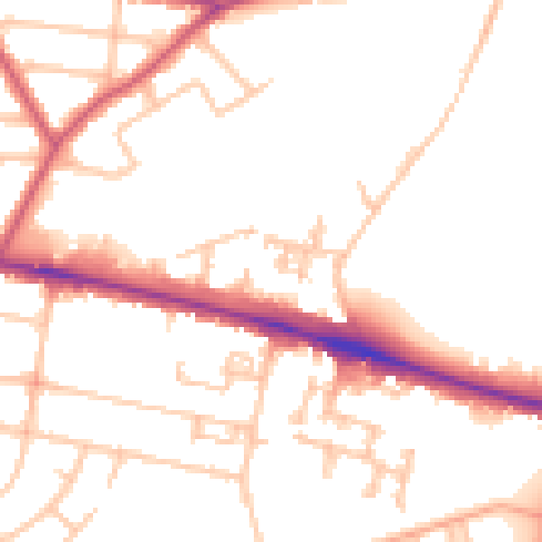
Daytime· 07:00 – 23:00
51.3dB

Night-time· 23:00 – 07:00
41.8dB