22 Garibaldi Street, Greenwich, London, SE18 1DE
About 22 Garibaldi Street
22 Garibaldi Street is a property in Greenwich, London, London (SE18 1DE). It has council tax band C.
Untraded for 25 years, with the last transfer in April 2001. Only one transfer is on record with HM Land Registry, suggesting it has stayed in the same hands for a long time.
Everything you need to know about 22 Garibaldi Street
The true value, the hidden risks and the full sale history, in one report.
Pick your report · every report is £14.99
One time fee only - money back guarantee

The data behind every report


Energy performance
No EPC on record
This property doesn't have an Energy Performance Certificate yet. An EPC is required to sell or let — and unlocks our automated valuation.
Get a survey for this property
Level 2 HomeBuyer Report
We've checked 10 risk factors against the available data for this property and believe a Level 2 HomeBuyer Report could be a suitable option for you.
Planning history
22 Garibaldi Street has no planning applications on record.
But the area is active
127 notable applications nearby — larger schemes and conversions that could reshape the street. The report maps them all.
Sales history & valuation
£76,000
Recorded with HM Land Registry.
Sales timeline
17 April 2001Most recent
£76,000
Median price across the last 5 sales in SE18 1DE: £227,700 (2024–2011).
Nearby sales in SE18 1DE
2 Garibaldi Street, Greenwich, London, SE18 1DE
Sold Jul 2024
£315,0001 Garibaldi Street, Greenwich, London, SE18 1DE
Sold Nov 2017
£252,00032 Garibaldi Street, Greenwich, London, SE18 1DE
Sold Jan 2015
£227,70036 Garibaldi Street, Greenwich, London, SE18 1DE
Sold Sept 2014
£160,00016 Garibaldi Street, Greenwich, London, SE18 1DE
Sold Jun 2008
£182,000
Everything you need to know about 22 Garibaldi Street
The true value, the hidden risks and the full sale history, in one report.
Pick your report · every report is £14.99
One time fee only - money back guarantee
The data behind every report
Similar properties nearby
1 Bernstein Court, Garibaldi Street, Greenwich
SE18 1DP
1 Conway Road, Greenwich
SE18 1AQ
1 Heath Villas, Greenwich
SE18 1PG
1 Garibaldi Street, Greenwich
SE18 1DE
1 Barth Road, Greenwich
SE18 1SG
1 Balgowan Street, Greenwich
SE18 1EB
1 Century House, Abery Street, Greenwich
SE18 1DR
1 Felspar Close, Greenwich
SE18 1LW
The neighbourhood at a glance
Rail-style transport is unusually close for this postcode.
Crime
13/mo
Rising year-on-year across the wider district.
Nearest stop
0.1 km
Lakedale Road — bus stop.
Closest school
0.2 km
Conway Primary School. 46 schools nearby.
Go deeper on the local area
A Local Area report breaks down crime, transport links, schools and air quality in depth.
Road noise across the postcode
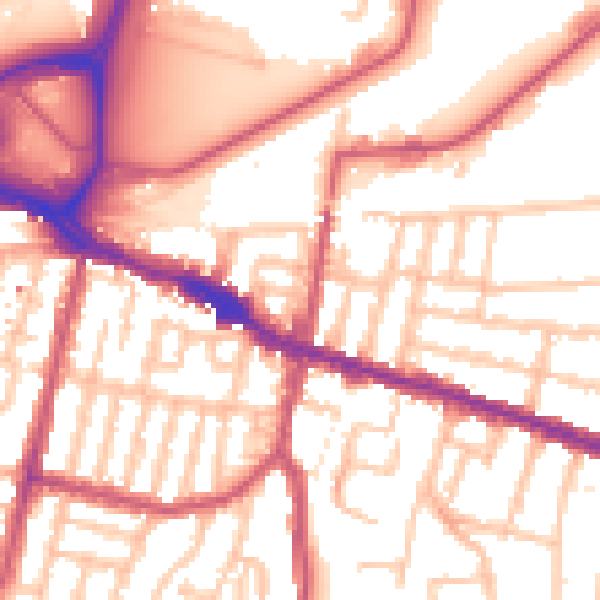
Daytime· 07:00 – 23:00
55.6dB

Night-time· 23:00 – 07:00
45.3dB