11a, Westmoreland Road, Southwark, London, SE17 2AX
About 11a
11a is a mid-terrace house in Southwark, London, London (SE17 2AX). It has a recorded floor area of 113 m² (around 1216 sq ft) and construction records dating it to 1900-1929. The latest certificate (March 2020) shows a D (score 66), on the cusp of jumping into the C band. The rating has held steady at D across 2 certificates since January 2009. Between certificates, lighting went from Very Poor to Very Good; while window efficiency dropped from Good to Average. The recommended improvements would push it to C (score 70).
At 113 m² the property is well over the postcode median (54 m² across 20 EPCs), placing it in the larger end of the local stock. It lags the bulk of the postcode on energy efficiency (less efficient than 75% of similar EPCs). 3 planning records sit against the property, 1 approved, 1 refused. Past consents include HMO conversion, meaningful when judging how the property has evolved.
Know exactly what you're buying at 11a
Before you offer, see what the listing won't tell you, the true value, the red flags and the full history.
Already flagged here
Launch offer · save £5
Valuation
against the asking price
Risks
planning & flood
Sold prices
similar homes nearby
Trends
the local market
Energy performance
EPC Rating
Property Improvements
Changes detected from historical EPC data
More low energy lighting installed
Planning history
Council records show a subdivision application — the property's legal arrangement has been altered.
- Feb 2025Loft ConversionFullIn report
Construction of rear dormer and insertion of 2no. rooflights to facilitate loft conversion
- Agent
- EA Town Planning LTD
- Documents
- 17 docs on file
- Reference
- 25/AP/0467
- Apr 2024HMOOutlineIn report
Certificate of lawful development ( Proposed ) for change of use of property from C3 dwelling house to C4 HMO for up to 6 people
- Agent
- EA Town Planning LTD
- Documents
- 22 docs on file
- Reference
- 24/AP/0418
We flagged 1 thing worth checking at 11a
Independent checks surfaced things a buyer would want to understand before offering. The report explains each one in full, with the underlying data and what to ask.
- Signs of HMO activity in the area
30-day money-back guarantee
Sales history & valuation
11a has no Land Registry sales on file, suggesting it has stayed in the same hands since registration began.
£625,000
Modelled from EPC, postcode comparables.
No sales recorded with HM Land Registry
That can mean the property has never traded since the registry began publishing in 1995, was a new build that hasn't been registered yet, or is held in the same hands long-term.
Median price across the last 5 sales in SE17 2AX: £420,000 (2024–2014).
Nearby sales in SE17 2AX
25 Westmoreland Road, Southwark, London, SE17 2AX
Sold Feb 2024
£500,0005 Westmoreland Road, Southwark, London, SE17 2AX
Sold Sept 2019
£25,00015a, Westmoreland Road, Southwark, London, SE17 2AX
Sold Apr 2019
£420,00021 Westmoreland Road, Southwark, London, SE17 2AX
Sold Oct 2015
£430,00027a, Westmoreland Road, Southwark, London, SE17 2AX
Sold Jun 2014
£376,000
Everything we know about 11a, in one report
What it's really worth, what could be wrong, and the planning, sales and area data in full.
What we flagged
- Signs of HMO activity in the area

Versus other Westmoreland Road homes
11a outperforms the street on habitable rooms by a wide margin.
EPC Rating
66 (D)
Street avg 70 (C)
Floor Area
113 m²
Street avg 62 m²
CO₂ Emissions
4.1 t/year
Street avg 2.2 t/year
Habitable Rooms
5 rooms
Street avg 3 rooms
Similar properties nearby
1 Madron Street, Southwark
SE17 2LE
1 Portland Street, Southwark
SE17 2PF
1 Greenman Court, Kinglake Street, Southwark
SE17 2RY
1 Lytham Street, Southwark
SE17 2PN
1 Aylesbury Road, Southwark
SE17 2EQ
1 Freemantle Street, Southwark
SE17 2JP
1 Markham Street, Southwark
SE17 2FW
1 Kiebs Way, Southwark
SE17 2FU
The neighbourhood at a glance
Reported crime in the wider district is trending notably upward year-on-year.
Crime
19/mo
Rising year-on-year across the wider district.
Nearest stop
0.1 km
Westmoreland Road — bus stop.
Closest school
0.2 km
St Peter's Church of England Primary School. 100 schools nearby.
Go deeper on the local area
The full report breaks down crime, transport links, schools and air quality in depth.
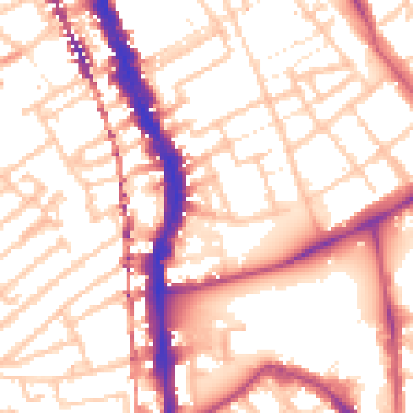
Road noise across the postcode
Daytime· 07:00 – 23:00
55.3dB

Night-time· 23:00 – 07:00
43.7dB