Flat 6, 28 Nunhead Lane, Southwark, London, SE15 3TU
About Flat 6
Flat 6 is an end-of-terrace house in Southwark, London, London (SE15 3TU). It has a recorded floor area of 69 m² (around 743 sq ft) and construction records dating it to 1900-1929. At 69 m² this is the largest unit on EPC record across the building (38–69 m²). On EPC score it ranks last in the building (70 versus a best of 76). The latest certificate (March 2023) shows a C (score 70). Main heating runs on electricity.
At 69 m² it's 19% larger than the typical home in the postcode (58 m² median across 19 EPCs). 5 planning records sit against the property, 0 approved, 4 refused.
Know exactly what you're buying at Flat 6
Before you offer, see what the listing won't tell you, the true value, the red flags and the full history.
Already flagged here
Launch offer · save £5
Valuation
against the asking price
Risks
planning & flood
Sold prices
similar homes nearby
Trends
the local market
Energy performance
EPC Rating
Planning history
Council records show a subdivision application — the property's legal arrangement has been altered.
- May 2019ExtensionFullIn report
Extension: Part single, part two storey · Rear of property
Erection of a part 1 part 2 storey rear extension to create three additional residential units. Creation of a roof terrace on the first floor flat roof extension
- Agent
- DWD
- Documents
- 19 docs on file
- Reference
- 19/AP/1039
- Mar 2019SubdivisionAmendmentIn report
Extension: Part single, part two storey · Rear of property
Construction of a part 1 part 2-storey rear extension and mansard roof to convert the existing building from three residential units to six flats (3x1bed and 3x2bed).
- Agent
- DWD
Extension- Documents
- 61 docs on file
- Reference
- 18/AP/4148
We flagged 2 things worth checking at Flat 6
Independent checks surfaced things a buyer would want to understand before offering. The report explains each one in full, with the underlying data and what to ask.
- Signs of HMO activity in the area
- Larger development activity nearby
30-day money-back guarantee
Sales history & valuation
Flat 6 has no Land Registry sales on file, suggesting it has stayed in the same hands since registration began.
£490,000
Modelled from EPC, postcode comparables.
No sales recorded with HM Land Registry
That can mean the property has never traded since the registry began publishing in 1995, was a new build that hasn't been registered yet, or is held in the same hands long-term.
Median price across the last 5 sales in SE15 3TU: £600,000 (2022–2019).
Nearby sales in SE15 3TU
48 Nunhead Lane, Southwark, London, SE15 3TU
Sold Jan 2022
£20,00052 Nunhead Lane, Southwark, London, SE15 3TU
Sold Jun 2021
£600,00054a, Nunhead Lane, Southwark, London, SE15 3TU
Sold Apr 2021
£575,00054b, Nunhead Lane, Southwark, London, SE15 3TU
Sold Mar 2021
£1,175,000Flat C, 48 Nunhead Lane, London, SE15 3TU
Sold Aug 2019
£500,000
Everything we know about Flat 6, in one report
What it's really worth, what could be wrong, and the planning, sales and area data in full.
What we flagged
- Signs of HMO activity in the area
- Larger development activity nearby

Versus other Nunhead Lane homes
Flat 6 outperforms the street on habitable rooms by a wide margin.
EPC Rating
70 (C)
Street avg 68 (D)
Floor Area
69 m²
Street avg 52 m²
CO₂ Emissions
2.4 t/year
Street avg 2.2 t/year
Habitable Rooms
4 rooms
Street avg 3 rooms
Similar properties nearby
40a, Flat 1, Nunhead Lane, Southwark
SE15 3TU
42 44, Flat 6, Stuart Road, Southwark
SE15 3BE
42 44, Flat 5, Stuart Road, Southwark
SE15 3BE
2c, Flat 4, Merttins Road, Southwark
SE15 3EB
42 44, Flat 4, Stuart Road, Southwark
SE15 3BE
42 44, Flat 3, Stuart Road, Southwark
SE15 3BE
40a, Flat 2, Nunhead Lane, Southwark
SE15 3TU
42 44, Flat 1, Stuart Road, Southwark
SE15 3BE
The neighbourhood at a glance
Rail-style transport is unusually close for this postcode.
Crime
11/mo
Rising year-on-year across the wider district.
Nearest stop
0.1 km
Carden Road — bus stop.
Closest school
0.1 km
Rye Oak Primary School. 74 schools nearby.
Go deeper on the local area
The full report breaks down crime, transport links, schools and air quality in depth.
Road noise across the postcode
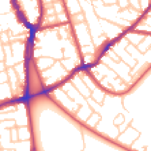
Daytime· 07:00 – 23:00
54.7dB

Night-time· 23:00 – 07:00
44.1dB