83 Nunhead Lane, Southwark, London, SE15 3TU
About 83 Nunhead Lane
83 Nunhead Lane is an end-of-terrace house in Southwark, London, London (SE15 3TU). It has a recorded floor area of 88 m² (around 942 sq ft), construction records dating it to 1983-1990 and council tax band C. The latest certificate (March 2012) shows a C (score 69), just inside the C band. The latest certificate is from March 2012, so improvements made since then won't be reflected.
At 88 m² the property is well over the postcode median (58 m² across 19 EPCs), placing it in the larger end of the local stock. Today's modelled estimate of £554,000 sits 84.7% above the 2012 sale of £300,000. 2 planning records sit against the property, 2 approved, 0 refused. Past consents include an extension and a loft conversion, meaningful when judging how the property has evolved. On the market in June 2012 and unlisted since — roughly 14 years.
Know exactly what you're buying at 83 Nunhead Lane
Before you offer, see what the listing won't tell you, the true value, the red flags and the full history.
Already flagged here
Launch offer · save £5
Valuation
against the asking price
Risks
planning & flood
Sold prices
similar homes nearby
Trends
the local market
Energy performance
83 Nunhead Lane's EPC is over a decade old — improvements since won't be reflected.
EPC Expired
This certificate is over 10 years old and is no longer valid.Expired 26 Mar 2022
EPC Rating
Planning history
Planning history includes both a loft conversion and an extension — the classic family-home expansion.
- Nov 2013Loft ConversionFullIn report
Rear roof extension and conversion of loft to habitable space with shower room; and installation of 1no. rooflight to front roofslope.
Extension- Documents
- 9 docs on file
- Reference
- 13/AP/3237
- Nov 2013ExtensionFullIn report
Extension: Single storey · Rear of property
Erection of a single storey ground floor rear extension extending 5 metres from the rear wall of the original dwellinghouse with a maximum height of 2.962 metres and eaves height of 2.35 metres.
- Documents
- 10 docs on file
- Reference
- 13/PA/0028
We flagged 2 things worth checking at 83 Nunhead Lane
Independent checks surfaced things a buyer would want to understand before offering. The report explains each one in full, with the underlying data and what to ask.
- Signs of HMO activity in the area
- Larger development activity nearby
30-day money-back guarantee
Sales history & valuation
83 Nunhead Lane valuation sits well clear of the typical sold price in this postcode.
£554,000
Modelled from EPC, postcode comparables.
£300,000
Recorded with HM Land Registry.
Sales timeline
28 June 2012Most recent
£300,000
Median price across the last 5 sales in SE15 3TU: £600,000 (2022–2019).
Nearby sales in SE15 3TU
48 Nunhead Lane, Southwark, London, SE15 3TU
Sold Jan 2022
£20,00052 Nunhead Lane, Southwark, London, SE15 3TU
Sold Jun 2021
£600,00054a, Nunhead Lane, Southwark, London, SE15 3TU
Sold Apr 2021
£575,00054b, Nunhead Lane, Southwark, London, SE15 3TU
Sold Mar 2021
£1,175,000Flat C, 48 Nunhead Lane, London, SE15 3TU
Sold Aug 2019
£500,000
Everything we know about 83 Nunhead Lane, in one report
What it's really worth, what could be wrong, and the planning, sales and area data in full.
What we flagged
- Signs of HMO activity in the area
- Larger development activity nearby

Versus other Nunhead Lane homes
83 Nunhead Lane is notably below the street on floor area.
EPC Rating
69 (C)
Street avg 82 (B)
Floor Area
88 m²
Street avg 118 m²
CO₂ Emissions
3.1 t/year
Street avg 2.0 t/year
Similar properties nearby
1 Brackley Avenue, Southwark
SE15 3LE
1 Barset Road, Southwark
SE15 3HW
1 Galatea Square, Southwark
SE15 3PL
1 Abbotsbury Mews, Southwark
SE15 3LU
1 Banstead Street, Southwark
SE15 3EX
1 Habitat Close, Southwark
SE15 3RE
1 Forester Road, Southwark
SE15 3PU
1 Buchan Road, Southwark
SE15 3HQ
The neighbourhood at a glance
Rail-style transport is unusually close for this postcode.
Crime
11/mo
Rising year-on-year across the wider district.
Nearest stop
0.1 km
Carden Road — bus stop.
Closest school
0.1 km
Rye Oak Primary School. 74 schools nearby.
Go deeper on the local area
The full report breaks down crime, transport links, schools and air quality in depth.
Road noise across the postcode
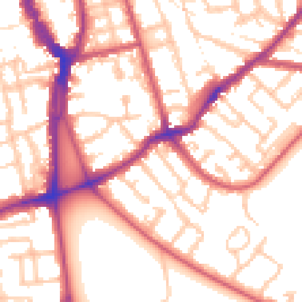
Daytime· 07:00 – 23:00
54.7dB

Night-time· 23:00 – 07:00
44.1dB