3 Basford Drive, Sheffield, S9 5BE
About 3 Basford Drive
3 Basford Drive is a two-bedroom semi-detached house in Sheffield (S9 5BE). It has a recorded floor area of 59 m² (around 635 sq ft), construction records dating it to 1930-1949 and council tax band A. The latest certificate (September 2012) shows a D (score 66), on the cusp of jumping into the C band. The recommended improvements would lift it to B (score 84), a 2-band jump. The latest certificate is from September 2012, so improvements made since then won't be reflected. The home occupies a cul-de-sac position.
Across 1996–2015, sale prices on this property compounded at 4.3% per year. Today's modelled estimate of £135,000 sits 80% above the 2015 sale of £75,000. On a £-per-square-foot basis, the last sale (£118/sq ft) was about 18.7% above the typical sold price in the postcode. 11 years since the last transfer (October 2015). Across the public record there are 4 sales, relatively high churn for a single property.
What this property has
Inside
- Bedrooms2
- Bathrooms1
- Dining roomYes
Outside
- Private gardenRear
- DrivewayYes
- Cul-de-sacYes
Everything you need to know about 3 Basford Drive
The true value, the hidden risks and the full sale history, in one report.
Pick your report · every report is £14.99
One time fee only - money back guarantee

The data behind every report


Energy performance
Recommended upgrades on file would lift this property by multiple EPC bands.
EPC Expired
This certificate is over 10 years old and is no longer valid.Expired 18 Sept 2022
EPC Rating
Get a survey for this property
Level 2 HomeBuyer Report
We've checked 10 risk factors against the available data for this property and believe a Level 2 HomeBuyer Report could be a suitable option for you.
From £495 · Includes VAT
Planning history
3 Basford Drive has no planning applications on record.
A planning report still maps activity across the surrounding area and reads this property's extension & conversion potential.
Sales history & valuation
Sale price has at least doubled since 1996.
£135,000
Modelled from EPC, postcode comparables and a sale-price growth of 4.3% per year over 20 years.
£75,000
Growth on file: 4.3% per year over 20 years.
Sales timeline
11 October 2015Most recent
£75,000
14 October 2004
£75,000
+145.9%over 5 years30 October 1998
£30,500
-6.2%over 2 years19 January 1996
£32,500
Median price across the last 5 sales in S9 5BE: £120,500 (2023–2020).
Nearby sales in S9 5BE
Versus other Basford Drive homes
3 Basford Drive outperforms the street on habitable rooms by a wide margin.
Price per m²
£1,271
Street avg £1,267
Floor Area
59 m²
Street avg 70 m²
Habitable Rooms
5 rooms
Street avg 4 rooms
CO₂ Emissions
2.6 t/year
Street avg 3.3 t/year
Everything you need to know about 3 Basford Drive
The true value, the hidden risks and the full sale history, in one report.
Pick your report · every report is £14.99
One time fee only - money back guarantee
The data behind every report
Similar properties nearby
The neighbourhood at a glance
Reported crime in the wider district is trending notably upward year-on-year.
Crime
19/mo
Rising year-on-year across the wider district.
Nearest stop
0.2 km
Eleanor Street/Phillimore Road — bus stop.
Closest school
0.3 km
Phillimore Community Primary School. 24 schools nearby.
Go deeper on the local area
A Local Area report breaks down crime, transport links, schools and air quality in depth.
Road noise across the postcode
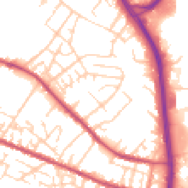
Daytime· 07:00 – 23:00
53.9dB

Night-time· 23:00 – 07:00
44.4dB