9 Drake Close, Burncross, Sheffield, S35 1TB
About 9 Drake Close
9 Drake Close is a property in Burncross, Sheffield, Sheffield (S35 1TB). It has council tax band B.
One planning record on file: an extension approved in 2021. Past consents include an extension, meaningful when judging how the property has evolved.
Energy performance
No EPC on record
This property doesn't have an Energy Performance Certificate yet. An EPC is required to sell or let — and unlocks our automated valuation.
Planning history
9 Drake Close has an approved extension on the planning record.
- Jul 2021ExtensionFullIn report
Alterations and extension to roof to form additional living accommodation to dwellinghouse (Amended description)
- Documents
- 5 docs on file
- Reference
- 21/01930/FUL
Sales history & valuation
No sales recorded with HM Land Registry
That can mean the property has never traded since the registry began publishing in 1995, was a new build that hasn't been registered yet, or is held in the same hands long-term.
Median price across the last 3 sales in S35 1TB: £175,000 (2020–2003).
Similar properties nearby
1 Acacia Avenue, Chapeltown
S35 1PQ
1 Albany Avenue, Chapeltown
S35 1RA
1 Ash View, Chapeltown
S35 1ZD
1 Barnes Hall Road, Burncross
S35 1RE
1 Bentley Road, Chapeltown
S35 1RH
1 Berry Holme Close, Chapeltown
S35 1AB
1 Berry Holme Court, Chapeltown
S35 1AN
1 Berry Holme Drive, Chapeltown
S35 1AD
The neighbourhood at a glance
Daytime road noise here sits well below conversation level — a quiet pocket of the postcode.
Crime
2/mo
Steady year-on-year across the wider district.
Nearest stop
0.1 km
Burncross Road/Chapel Road — bus stop.
Closest school
0.6 km
Windmill Hill Primary School. 14 schools nearby.
Road noise across the postcode
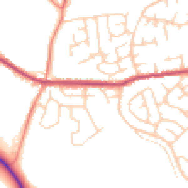
Daytime· 07:00 – 23:00
49.8dB

Night-time· 23:00 – 07:00
39.8dB