9 Falcon Road, Dronfield, S18 2ED
About 9 Falcon Road
9 Falcon Road is a three-bedroom semi-detached house in Dronfield (S18 2ED). It has a recorded floor area of 82 m² (around 883 sq ft), construction records dating it to 1930-1949 and council tax band B. The latest certificate (September 2025) shows a D (score 68), on the cusp of jumping into the C band. Earlier certificates rated it C (September 2012); the latest reading is one band lower. Between certificates, window efficiency dropped from Good to Poor. The recommended improvements would push it to C (score 74).
Across 2013–2014, sale prices on this property compounded at 17.8% per year. Today's modelled estimate of £303,000 sits 59.3% above the 2014 sale of £190,250. On a £-per-square-foot basis, the last sale (£216/sq ft) was about 24.5% above the typical sold price in the postcode. 12 years since the last transfer (October 2014).
Know exactly what you're buying at 9 Falcon Road
Before you offer, see what the listing won't tell you, the true value, the red flags and the full history.
Already flagged here
Valuation
against the asking price
Risks
planning & flood
Sold prices
similar homes nearby
Trends
the local market
What this property has
Inside
- Bedrooms3
- Bathrooms1
Outside
- Private gardenRear
- GarageYes
Building
- RefurbishedYes
Energy performance
EPC Rating
Property Improvements
Changes detected from historical EPC data
More low energy lighting installed
Planning history
9 Falcon Road has no planning applications on record.
The full report still covers planning activity across the surrounding area.
We flagged 1 thing worth checking at 9 Falcon Road
Independent checks surfaced things a buyer would want to understand before offering. The report explains each one in full, with the underlying data and what to ask.
- Recent ownership pattern worth a look
30-day money-back guarantee
Sales history & valuation
9 Falcon Road valuation sits well clear of the typical sold price in this postcode.
£303,000
Modelled from EPC, postcode comparables and a sale-price growth of 17.8% per year over 2 years.
£190,250
Growth on file: 17.8% per year over 2 years.
Sales timeline
30 October 2014Most recent
£190,250
+28.5%over 1 year18 April 2013
£148,000
Median price across the last 5 sales in S18 2ED: £245,000 (2023–2020).
Everything we know about 9 Falcon Road, in one report
What it's really worth, what could be wrong, and the planning, sales and area data in full.
What we flagged
- Recent ownership pattern worth a look

Versus other Falcon Road homes
9 Falcon Road outperforms the street on co₂ emissions by a wide margin.
Price per m²
£2,320
Street avg £2,158
Floor Area
82 m²
Street avg 96 m²
Habitable Rooms
5 rooms
Street avg 5 rooms
CO₂ Emissions
2.9 t/year
Street avg 4.3 t/year
Similar properties nearby
The neighbourhood at a glance
Daytime road noise here sits well below conversation level — a quiet pocket of the postcode.
Crime
5/mo
Steady year-on-year across the wider district.
Nearest stop
0.2 km
Oakhill Road — bus stop.
Closest school
0.1 km
Northfield Junior School. 15 schools nearby.
Go deeper on the local area
The full report breaks down crime, transport links, schools and air quality in depth.
Road noise across the postcode
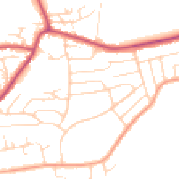
Daytime· 07:00 – 23:00
48.4dB

Night-time· 23:00 – 07:00
39.2dB