54 Marlborough Road, Sheffield, S10 1DB
About 54 Marlborough Road
54 Marlborough Road is a seven-bedroom mid-terrace house in Sheffield (S10 1DB). It has a recorded floor area of 155 m² (around 1668 sq ft), construction records dating it to before 1900 and council tax band D. The latest certificate (November 2017) shows a C (score 70). The recommended improvements would push it to B (score 83).
Held since August 2000 — that's 26 years off the open market, well above the local norm. Only one transfer is on record with HM Land Registry, suggesting it has stayed in the same hands for a long time. Today's modelled estimate of £454,000 sits 278.3% above the 2000 sale of £120,000. On a £-per-square-foot basis, the last sale (£72/sq ft) was about 57.2% below the postcode norm. Its energy rating outperforms most of the postcode (better than 80% of similar EPCs). 7 bedrooms is on the larger side for this postcode, where 4 is the typical count.
What this property has
Inside
- Bedrooms7
- Bathrooms2
Outside
- Private gardenRear
Everything you need to know about 54 Marlborough Road
The true value, the hidden risks and the full sale history, in one report.
Pick your report · every report is £14.99
One time fee only - money back guarantee

The data behind every report


Energy performance
EPC Rating
Get a survey for this property
Level 3 Building Survey
Because the property was built before 1919, we believe a Level 3 building survey should be considered.
From £1,020 · Includes VAT
Planning history
54 Marlborough Road has no planning applications on record.
But the area is active
21 notable applications nearby — larger schemes and conversions that could reshape the street. The report maps them all.
Sales history & valuation
54 Marlborough Road's estimated value is more than triple its earliest registered sale price (2000).
£454,000
Modelled from EPC, postcode comparables.
£120,000
Recorded with HM Land Registry.
Sales timeline
31 August 2000Most recent
£120,000
Median price across the last 5 sales in S10 1DB: £400,000 (2024–2015).
Nearby sales in S10 1DB
60 Marlborough Road, Sheffield, S10 1DB
Sold Nov 2024
£387,73456 Marlborough Road, Sheffield, S10 1DB
Sold Jul 2018
£410,00034 Marlborough Road, Sheffield, S10 1DB
Sold May 2018
£400,00058 Marlborough Road, Sheffield, S10 1DB
Sold Jan 2016
£320,00030 Marlborough Road, Sheffield, S10 1DB
Sold Nov 2015
£415,000
Versus other Marlborough Road homes
On epc rating, 54 Marlborough Road stands well clear of the street.
Price per m²
£774
Street avg £1,967
Floor Area
155 m²
Street avg 168 m²
Habitable Rooms
8 rooms
Street avg 8 rooms
CO₂ Emissions
5.7 t/year
Street avg 9.3 t/year
Everything you need to know about 54 Marlborough Road
The true value, the hidden risks and the full sale history, in one report.
Pick your report · every report is £14.99
One time fee only - money back guarantee
The data behind every report
Similar properties nearby
The neighbourhood at a glance
Crime
4/mo
Steady year-on-year across the wider district.
Nearest stop
0.2 km
Whitham Road/Northumberland Road — bus stop.
Closest school
0.3 km
Broomhill Infant School. 35 schools nearby.
Go deeper on the local area
A Local Area report breaks down crime, transport links, schools and air quality in depth.
Road noise across the postcode
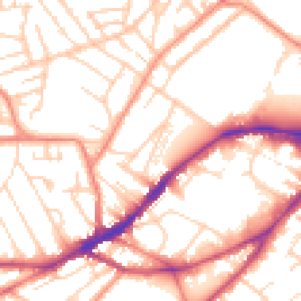
Daytime· 07:00 – 23:00
53.4dB

Night-time· 23:00 – 07:00
43.3dB