7 Burdetts Road, Dagenham, RM9 6XZ
About 7 Burdetts Road
7 Burdetts Road is a semi-detached house in Dagenham (RM9 6XZ). It has a recorded floor area of 56 m² (around 603 sq ft), construction records dating it to 1976-1982 and council tax band C. At 56 m² this is the 21st smallest of 24 units on EPC record in the building, where floor areas span 28–57 m². The building's EPC ratings span E to C, with this unit at the top. The latest certificate (February 2022) shows a C (score 70).
On a £-per-square-foot basis, the last sale (£415/sq ft) was about 105.9% above the typical sold price in the postcode. Most recent transfer: February 2023 at £250,000.
Know exactly what you're buying at 7 Burdetts Road
Before you offer, see what the listing won't tell you, the true value, the red flags and the full history.
Already flagged here
Valuation
against the asking price
Risks
planning & flood
Sold prices
similar homes nearby
Trends
the local market
Energy performance
EPC Rating
Planning history
7 Burdetts Road has no planning applications on record.
Notable planning nearby
2applications of note in the surrounding area
We flagged 1 thing worth checking at 7 Burdetts Road
Independent checks surfaced things a buyer would want to understand before offering. The report explains each one in full, with the underlying data and what to ask.
- Larger development activity nearby
30-day money-back guarantee
Sales history & valuation
7 Burdetts Road valuation sits well clear of the typical sold price in this postcode.
£253,000
Modelled from EPC, postcode comparables.
£250,000
Recorded with HM Land Registry.
Sales timeline
28 February 2023Most recent
£250,000
Median price across the last 5 sales in RM9 6XZ: £240,000 (2024–2020).
Nearby sales in RM9 6XZ
Everything we know about 7 Burdetts Road, in one report
What it's really worth, what could be wrong, and the planning, sales and area data in full.
What we flagged
- Larger development activity nearby

Versus other Burdetts Road homes
7 Burdetts Road outperforms the street on floor area by a wide margin.
Price per m²
£4,464
Street avg £3,329
Floor Area
56 m²
Street avg 43 m²
Habitable Rooms
3 rooms
Street avg 2 rooms
CO₂ Emissions
2.0 t/year
Street avg 2.4 t/year
Similar properties nearby
1 Bygraves House, Merrielands Cresent
RM9 6FJ
1 Anslow House, Merrielands Crescent
RM9 6FH
1 Downing Road
RM9 6NR
1 Burdetts Road
RM9 6XZ
1 Darcy House, Jack Jones Way
RM9 6GE
1 Chequers Parade, Ripple Road
RM9 6RT
1 Cook Road
RM9 6FG
1 Coombes Road
RM9 6UL
The neighbourhood at a glance
Rail-style transport is unusually close for this postcode.
Crime
16/mo
Steady year-on-year across the wider district.
Nearest stop
0.3 km
Chequers Lane / Merrielands Retail Park — bus stop.
Closest school
0.1 km
St Peter's Catholic Primary School. 41 schools nearby.
Go deeper on the local area
The full report breaks down crime, transport links, schools and air quality in depth.
Road noise across the postcode
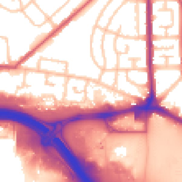
Daytime· 07:00 – 23:00
58.2dB
Night-time· 23:00 – 07:00
50.3dB