13 Berengers Place, Dagenham, RM9 4PT
About 13 Berengers Place
13 Berengers Place is a semi-detached house in Dagenham (RM9 4PT). It has a recorded floor area of 98 m² (around 1055 sq ft), construction records dating it to 1996-2002 and council tax band D. The latest certificate (November 2017) shows a C (score 73). The recommended improvements would push it to B (score 85).
One planning record on file: tree works approved in 2018. Past consents include tree works, meaningful when judging how the property has evolved.
Know exactly what you're buying at 13 Berengers Place
Before you offer, see what the listing won't tell you, the true value, the red flags and the full history.
Valuation
against the asking price
Risks
planning & flood
Sold prices
similar homes nearby
Trends
the local market
Energy performance
EPC Rating
Planning history
- Aug 2018Tree WorksTreesIn report
Application for tree works subject to a tree preservation order: T21 & T22 (Lime tree) Re-pollard rear and side
- Documents
- 9 docs on file
- Reference
- 18/01123/TPO
What's in 13 Berengers Place, Dagenham, RM9 4PT's planning history?
Refusals, disputes and full decisions on this property and nearby, in the report.
Sales history & valuation
13 Berengers Place has no Land Registry sales on file, suggesting it has stayed in the same hands since registration began.
£432,000
Modelled from EPC, postcode comparables.
No sales recorded with HM Land Registry
That can mean the property has never traded since the registry began publishing in 1995, was a new build that hasn't been registered yet, or is held in the same hands long-term.
Everything we know about 13 Berengers Place, in one report
What it's really worth, what could be wrong, and the planning, sales and area data in full.
- Am I paying too much?
- Is something wrong with it?
- Is the agent's story true?
- Will it hold its value?

Versus other Berengers Place homes
Floor Area for 13 Berengers Place lags the street by a wide margin.
EPC Rating
73 (C)
Street avg 75 (C)
Floor Area
98 m²
Street avg 111 m²
CO₂ Emissions
2.7 t/year
Street avg 3.1 t/year
Habitable Rooms
6 rooms
Street avg 6 rooms
Similar properties nearby
The neighbourhood at a glance
Rail-style transport is unusually close for this postcode.
Crime
16/mo
Steady year-on-year across the wider district.
Nearest stop
0.2 km
Porters Avenue — bus stop.
Closest school
0.6 km
Monteagle Primary School. 59 schools nearby.
Go deeper on the local area
The full report breaks down crime, transport links, schools and air quality in depth.
Road noise across the postcode
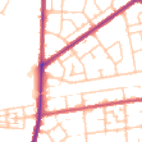
Daytime· 07:00 – 23:00
52.0dB

Night-time· 23:00 – 07:00
42.9dB