66 Crow Lane, Romford, RM7 0EP
About 66 Crow Lane
66 Crow Lane is an end-of-terrace house in Romford (RM7 0EP). It has a recorded floor area of 128 m² (around 1378 sq ft), construction records dating it to 1930-1949 and council tax band F. The latest certificate (February 2018) shows a C (score 69), just inside the C band.
2 planning records sit against the property, 0 approved, 0 refused, 1 pending. An active application for a garage conversion is awaiting a decision. At 128 m² it's 17.4% larger than the typical home in the postcode (109 m² median across 29 EPCs). Today's modelled estimate of £626,000 is 13.8% above the 2022 sale price. On a £-per-square-foot basis, the last sale (£399/sq ft) was about 17.4% above the typical sold price in the postcode. Sold October 2022 for £550,000. That sale was during the post-pandemic price surge, when transactions cleared materially above pre-2020 trend.
Everything you need to know about 66 Crow Lane
The true value, the hidden risks and the full sale history, in one report.
30-day money-back guarantee

The data behind every report


Energy performance
EPC Rating
Planning history
An application for a garage conversion is currently awaiting a decision.
- Jan 2026Garage ConversionOutlineIn report
Certificate of Lawfulness for the conversion of existing detached garage into habitable use ancillary to the main dwelling
- Documents
- 4 docs on file
- Reference
- D0025.26
- Jun 2022
We flagged 1 thing worth checking at 66 Crow Lane
Independent checks surfaced things a buyer would want to understand before offering. The report explains each one in full, with the underlying data and what to ask.
- Signs of HMO activity in the area
30-day money-back guarantee
Sales history & valuation
The latest sale landed in the post-pandemic price surge — useful context when reading the figure.
£626,000
Modelled from EPC, postcode comparables.
£550,000
Recorded with HM Land Registry.
Sales timeline
13 October 2022Most recent
£550,000
Median price across the last 5 sales in RM7 0EP: £550,000 (2025–2022).
Versus other Crow Lane homes
66 Crow Lane is notably below the street on years held.
Price per m²
£4,297
Street avg £4,211
Floor Area
128 m²
Street avg 119 m²
Habitable Rooms
7 rooms
Street avg 5 rooms
CO₂ Emissions
4.3 t/year
Street avg 4.5 t/year
Everything you need to know about 66 Crow Lane
The true value, the hidden risks and the full sale history, in one report.
30-day money-back guarantee
The data behind every report
Similar properties nearby
1 Byton Close
RM7 0HN
1 Dandelion Close, Rush Green
RM7 0YY
1 Horace Avenue
RM7 0XA
1 Fels Farm Mews, Dagenham Road
RM7 0NT
1 Barton Avenue
RM7 0NB
1 Eastbrook Drive
RM7 0YT
1 Camomile Road, Rush Green
RM7 0WW
1 Leonard Avenue
RM7 0UR
The neighbourhood at a glance
Reported crime in the wider district is trending notably upward year-on-year.
Crime
7/mo
Rising year-on-year across the wider district.
Nearest stop
0.2 km
Bernard Road — bus stop.
Closest school
0.6 km
Crowlands Primary School. 39 schools nearby.
Go deeper on the local area
The full report breaks down crime, transport links, schools and air quality in depth.
Road noise across the postcode
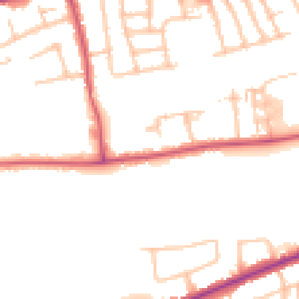
Daytime· 07:00 – 23:00
49.3dB

Night-time· 23:00 – 07:00
39.6dB