7 Harlesden Road, Romford, RM3 9HT
About 7 Harlesden Road
7 Harlesden Road is a four-bedroom semi-detached house in Romford (RM3 9HT). It has a recorded floor area of 89 m² (around 958 sq ft), construction records dating it to 1930-1949 and council tax band C. The latest certificate (June 2021) shows a C (score 71). The recommended improvements would push it to B (score 83).
It hasn't traded since November 2004, a hold of 22 years that's notably long for the area. Today's modelled estimate of £425,000 sits 174.2% above the 2004 sale of £155,000. On a £-per-square-foot basis, the last sale (£162/sq ft) was about 28% below the postcode norm. At 89 m² it's 20.3% larger than the typical home in the postcode (74 m² median across 24 EPCs). Its energy rating outperforms most of the postcode (better than 75% of similar EPCs).
Know exactly what you're buying at 7 Harlesden Road
Before you offer, see what the listing won't tell you, the true value, the red flags and the full history.
Already flagged here
Valuation
against the asking price
Risks
planning & flood
Sold prices
similar homes nearby
Trends
the local market
What this property has
Inside
- Bedrooms4
- Bathrooms1
- Dining roomYes
- CloakroomYes
Energy performance
EPC Rating
Planning history
7 Harlesden Road has no planning applications on record.
Notable planning nearby
8applications of note in the surrounding area
We flagged 1 thing worth checking at 7 Harlesden Road
Independent checks surfaced things a buyer would want to understand before offering. The report explains each one in full, with the underlying data and what to ask.
- Signs of HMO activity in the area
30-day money-back guarantee
Sales history & valuation
7 Harlesden Road valuation sits well clear of the typical sold price in this postcode.
£425,000
Modelled from EPC, postcode comparables.
£155,000
Recorded with HM Land Registry.
Sales timeline
12 November 2004Most recent
£155,000
Median price across the last 5 sales in RM3 9HT: £400,000 (2022–2020).
Nearby sales in RM3 9HT
Everything we know about 7 Harlesden Road, in one report
What it's really worth, what could be wrong, and the planning, sales and area data in full.
What we flagged
- Signs of HMO activity in the area

Versus other Harlesden Road homes
On price per m², 7 Harlesden Road runs well behind the street norm.
Price per m²
£1,742
Street avg £2,945
Floor Area
89 m²
Street avg 80 m²
Habitable Rooms
5 rooms
Street avg 4 rooms
CO₂ Emissions
3.0 t/year
Street avg 3.5 t/year
Similar properties nearby
1 Dagnam Park Close
RM3 9YL
1 Fairford Way
RM3 9YR
1 Collerne Street
RM3 9FE
1 Amersham Drive
RM3 9HL
1 Haywood Mews
RM3 9FD
1 Dagnam Park Square
RM3 9YP
1 Hardy Court, Penrith Road
RM3 9NS
1 Broseley Road
RM3 9BA
The neighbourhood at a glance
Reported crime in the wider district is trending notably upward year-on-year.
Crime
6/mo
Rising year-on-year across the wider district.
Nearest stop
0.2 km
Camborne Avenue — bus stop.
Closest school
0.2 km
Mead Primary School. 17 schools nearby.
Go deeper on the local area
The full report breaks down crime, transport links, schools and air quality in depth.
Road noise across the postcode
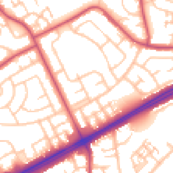
Daytime· 07:00 – 23:00
54.8dB

Night-time· 23:00 – 07:00
43.3dB