12 Alverstoke Road, Romford, RM3 8QR
About 12 Alverstoke Road
12 Alverstoke Road is a three-bedroom semi-detached house in Romford (RM3 8QR). It has a recorded floor area of 98 m² (around 1055 sq ft), construction records dating it to 1950-1966 and council tax band C. Other recorded features include a conservatory. The home occupies a corner plot. The latest certificate (March 2023) shows a C (score 72). The recommended improvements would push it to B (score 84).
At 98 m² the property is well over the postcode median (74 m² across 20 EPCs), placing it in the larger end of the local stock. Across 2002–2023, sale prices on this property compounded at 6.2% per year. On a £-per-square-foot basis, the last sale (£429/sq ft) was about 87.3% above the typical sold price in the postcode. 2 planning records sit against the property, 0 approved, 0 refused. Last sale on file: £452,500 in October 2023.
Know exactly what you're buying at 12 Alverstoke Road
Before you offer, see what the listing won't tell you, the true value, the red flags and the full history.
Already flagged here
Valuation
against the asking price
Risks
planning & flood
Sold prices
similar homes nearby
Trends
the local market
What this property has
Inside
- Bedrooms3
- Bathrooms1
- Dining roomYes
- CloakroomYes
- ConservatoryYes
Outside
- ParkingOff street
- Corner plotYes
Energy performance
EPC Rating
Planning history
- Mar 2025OutlineIn report
Certificate of Lawfulness for the siting of a caravan/mobile home ancillary to the host dwelling
- Documents
- 9 docs on file
- Reference
- D0032.25
- Jan 2025OutlineIn report
Certificate of Lawfulness for the siting of a caravan/mobile home ancillary to the host dwelling
- Documents
- 9 docs on file
- Reference
- D0445.24
We flagged 1 thing worth checking at 12 Alverstoke Road
Independent checks surfaced things a buyer would want to understand before offering. The report explains each one in full, with the underlying data and what to ask.
- Signs of HMO activity in the area
30-day money-back guarantee
Sales history & valuation
Latest sale on 12 Alverstoke Road was the highest on Land Registry record across the postcode.
£468,000
Modelled from EPC, postcode comparables and a sale-price growth of 6.2% per year over 22 years.
£452,500
Growth on file: 6.2% per year over 22 years.
Sales timeline
31 October 2023Most recent
£452,500
+264.9%over 21 years20 March 2002
£124,000
Median price across the last 5 sales in RM3 8QR: £320,000 (2024–2016).
Nearby sales in RM3 8QR
Everything we know about 12 Alverstoke Road, in one report
What it's really worth, what could be wrong, and the planning, sales and area data in full.
What we flagged
- Signs of HMO activity in the area

Versus other Alverstoke Road homes
12 Alverstoke Road is notably below the street on years held.
Price per m²
£4,617
Street avg £2,553
Floor Area
98 m²
Street avg 92 m²
Habitable Rooms
5 rooms
Street avg 5 rooms
CO₂ Emissions
3.1 t/year
Street avg 4.3 t/year
Similar properties nearby
1 Camborne Terrace, Camborne Avenue, Harold Hill
RM3 8FG
1 Alverstoke Road
RM3 8QR
1 Bideford Close
RM3 8HZ
1 Cypress Path
RM3 8BD
1 Charlbury Crescent
RM3 8YR
1 Barberry Close
RM3 8BJ
1 Charlbury Close
RM3 8YS
1 Appledore Close
RM3 8DZ
The neighbourhood at a glance
Rail-style transport is unusually close for this postcode.
Crime
6/mo
Rising year-on-year across the wider district.
Nearest stop
0.2 km
St Neot's Road /Gooshays Drive — bus stop.
Closest school
0.6 km
Broadford Primary School. 19 schools nearby.
Go deeper on the local area
The full report breaks down crime, transport links, schools and air quality in depth.
Road noise across the postcode
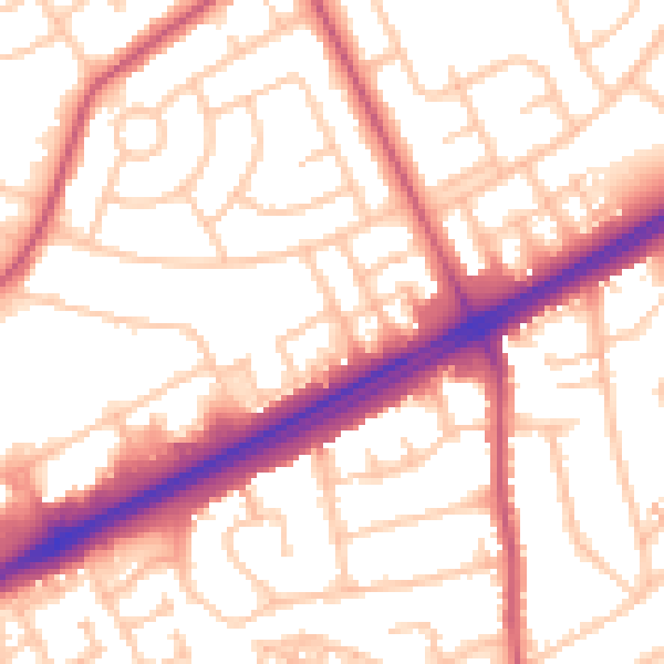
Daytime· 07:00 – 23:00
54.3dB

Night-time· 23:00 – 07:00
43.3dB