9a, Arundel Road, Romford, RM3 0RX
About 9a
9a is a two-bedroom semi-detached house in Romford (RM3 0RX). It has a recorded floor area of 60 m² (around 646 sq ft), construction records dating it to 1950-1966 and council tax band C. The latest certificate (January 2017) shows an E (score 51), well below the UK norm with real room to improve. The recommended improvements would push it to D (score 61).
It hasn't traded since October 2007, a hold of 19 years that's notably long for the area. That sale landed at the peak of the pre-credit-crunch market, which is a useful reference point when interpreting the price. Today's modelled estimate of £318,000 sits 72.8% above the 2007 sale of £184,000. At 60 m² it's 18.9% smaller than the typical home in the postcode (74 m² median across 29 EPCs).
Know exactly what you're buying at 9a
Before you offer, see what the listing won't tell you, the true value, the red flags and the full history.
Already flagged here
Valuation
against the asking price
Risks
planning & flood
Sold prices
similar homes nearby
Trends
the local market
What this property has
Inside
- Bedrooms2
- CloakroomYes
Outside
- Private gardenYes
Energy performance
EPC Rating
Planning history
9a has no planning applications on record.
Notable planning nearby
6applications of note in the surrounding area
We flagged 2 things worth checking at 9a
Independent checks surfaced things a buyer would want to understand before offering. The report explains each one in full, with the underlying data and what to ask.
- Signs of HMO activity in the area
- Larger development activity nearby
30-day money-back guarantee
Sales history & valuation
The latest sale landed at the peak of the pre-credit-crunch market — a high-water reference point.
£318,000
Modelled from EPC, postcode comparables.
£184,000
Recorded with HM Land Registry.
Sales timeline
3 October 2007Most recent
£184,000
Median price across the last 5 sales in RM3 0RX: £560,000 (2025–2021).
Everything we know about 9a, in one report
What it's really worth, what could be wrong, and the planning, sales and area data in full.
What we flagged
- Signs of HMO activity in the area
- Larger development activity nearby

Versus other Arundel Road homes
9a is notably below the street on epc rating.
Price per m²
£3,067
Street avg £4,028
Floor Area
60 m²
Street avg 55 m²
Habitable Rooms
3 rooms
Street avg 3 rooms
CO₂ Emissions
4.3 t/year
Street avg 2.5 t/year
Similar properties nearby
1 Arundel Road
RM3 0RX
1 Avenue Close
RM3 0SX
1 Camellia Close
RM3 0XW
1 Archibald Road
RM3 0RD
1 Bartholomew Drive, Harold Wood
RM3 0WB
1 Bennison Drive, Harold Wood
RM3 0WJ
1 Aubrietia Close
RM3 0XG
1 Baron Court, Oak Road
RM3 0PE
The neighbourhood at a glance
Rail-style transport is unusually close for this postcode.
Crime
6/mo
Rising year-on-year across the wider district.
Nearest stop
0.1 km
Harold Wood Library — bus stop.
Closest school
0.6 km
Harold Court Primary School. 19 schools nearby.
Go deeper on the local area
The full report breaks down crime, transport links, schools and air quality in depth.
Road noise across the postcode
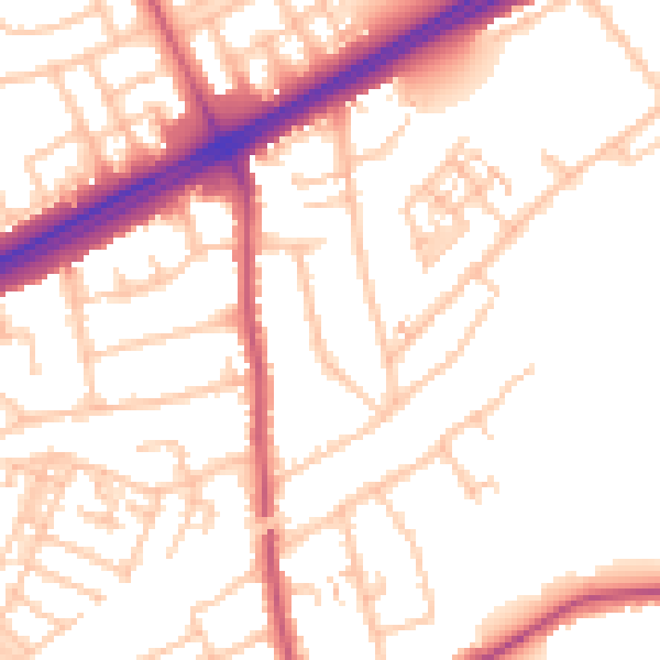
Daytime· 07:00 – 23:00
52.6dB

Night-time· 23:00 – 07:00
42.4dB