5a, Arundel Road, Romford, RM3 0RX
About 5a
5a is a two-bedroom semi-detached house in Romford (RM3 0RX). It has a recorded floor area of 56 m² (around 603 sq ft), construction records dating it to 1930-1949 and council tax band B. The latest certificate (January 2016) shows a D (score 60), on the cusp of jumping into the C band. The recommended improvements would push it to C (score 78). The latest certificate is from January 2016, so improvements made since then won't be reflected.
Across 2016–2022, sale prices on this property compounded at 1.6% per year. On a £-per-square-foot basis, the last sale (£489/sq ft) was about 91.9% above the typical sold price in the postcode. At 56 m² it's 24.3% smaller than the typical home in the postcode (74 m² median across 29 EPCs). Last sale on file: £295,000 in December 2022. That sale was during the post-pandemic price surge, when transactions cleared materially above pre-2020 trend.
Know exactly what you're buying at 5a
Before you offer, see what the listing won't tell you, the true value, the red flags and the full history.
Already flagged here
Valuation
against the asking price
Risks
planning & flood
Sold prices
similar homes nearby
Trends
the local market
What this property has
Inside
- Bedrooms2
Outside
- Private gardenRear
Energy performance
EPC Expired
This certificate is over 10 years old and is no longer valid.Expired 07 Jan 2026
EPC Rating
Planning history
5a has no planning applications on record.
Notable planning nearby
6applications of note in the surrounding area
We flagged 2 things worth checking at 5a
Independent checks surfaced things a buyer would want to understand before offering. The report explains each one in full, with the underlying data and what to ask.
- Signs of HMO activity in the area
- Larger development activity nearby
30-day money-back guarantee
Sales history & valuation
The latest sale landed in the post-pandemic price surge — useful context when reading the figure.
£303,000
Modelled from EPC, postcode comparables and a sale-price growth of 1.6% per year over 7 years.
£295,000
Growth on file: 1.6% per year over 7 years.
Sales timeline
21 December 2022Most recent
£295,000
+11.3%over 6 years18 March 2016
£265,000
Median price across the last 5 sales in RM3 0RX: £560,000 (2025–2020).
Everything we know about 5a, in one report
What it's really worth, what could be wrong, and the planning, sales and area data in full.
What we flagged
- Signs of HMO activity in the area
- Larger development activity nearby

Versus other Arundel Road homes
5a is notably below the street on years held.
Price per m²
£5,268
Street avg £3,828
Floor Area
56 m²
Street avg 56 m²
Habitable Rooms
3 rooms
Street avg 3 rooms
CO₂ Emissions
3.2 t/year
Street avg 2.6 t/year
Similar properties nearby
1 Arundel Road
RM3 0RX
1 Avenue Close
RM3 0SX
1 Camellia Close
RM3 0XW
1 Archibald Road
RM3 0RD
1 Bartholomew Drive, Harold Wood
RM3 0WB
1 Bennison Drive, Harold Wood
RM3 0WJ
1 Baron Court, Oak Road
RM3 0PE
1 Aubrietia Close
RM3 0XG
The neighbourhood at a glance
Rail-style transport is unusually close for this postcode.
Crime
6/mo
Rising year-on-year across the wider district.
Nearest stop
0.1 km
Harold Wood Library — bus stop.
Closest school
0.6 km
Harold Court Primary School. 19 schools nearby.
Go deeper on the local area
The full report breaks down crime, transport links, schools and air quality in depth.
Road noise across the postcode
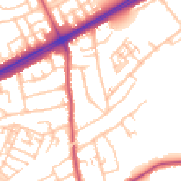
Daytime· 07:00 – 23:00
52.6dB

Night-time· 23:00 – 07:00
42.4dB