2a, Athelstan Road, Romford, RM3 0QB
About 2a
2a is a semi-detached house in Romford (RM3 0QB). It has a recorded floor area of 124 m² (around 1335 sq ft), construction records dating it to 1967-1975 and council tax band D. The latest certificate (March 2023) shows a C (score 75), near the top of the C band. The rating has held steady at C across 4 certificates since September 2009. Between certificates, roof efficiency went from Average to Good, window efficiency went from Average to Good and lighting went from Poor to Very Good; while hot-water efficiency dropped from Very Good to Good and main heating dropped from Very Good to Good. The recommended improvements would push it to B (score 86).
Its energy rating outperforms most of the postcode (better than 78% of similar EPCs).
Know exactly what you're buying at 2a
Before you offer, see what the listing won't tell you, the true value, the red flags and the full history.
Already flagged here
Valuation
against the asking price
Risks
planning & flood
Sold prices
similar homes nearby
Trends
the local market
Energy performance
EPC Rating
Property Improvements
Changes detected from historical EPC data
Heating controls upgraded for better temperature management
Hot water efficiency decreased
More low energy lighting installed
Roof insulation improved
More low energy lighting installed
Window efficiency improved
Wall insulation improved
Planning history
2a has no planning applications on record.
Notable planning nearby
6applications of note in the surrounding area
We flagged 2 things worth checking at 2a
Independent checks surfaced things a buyer would want to understand before offering. The report explains each one in full, with the underlying data and what to ask.
- Signs of HMO activity in the area
- Larger development activity nearby
30-day money-back guarantee
Sales history & valuation
2a has no Land Registry sales on file, suggesting it has stayed in the same hands since registration began.
£551,000
Modelled from EPC, postcode comparables.
No sales recorded with HM Land Registry
That can mean the property has never traded since the registry began publishing in 1995, was a new build that hasn't been registered yet, or is held in the same hands long-term.
Median price across the last 5 sales in RM3 0QB: £565,000 (2023–2014).
Nearby sales in RM3 0QB
Everything we know about 2a, in one report
What it's really worth, what could be wrong, and the planning, sales and area data in full.
What we flagged
- Signs of HMO activity in the area
- Larger development activity nearby

Versus other Athelstan Road homes
CO₂ Emissions for 2a runs comfortably ahead of the street norm.
EPC Rating
75 (C)
Street avg 64 (D)
Floor Area
124 m²
Street avg 129 m²
CO₂ Emissions
3.4 t/year
Street avg 5.2 t/year
Habitable Rooms
7 rooms
Street avg 6 rooms
Similar properties nearby
1 Blanchard Mews, Harold Wood
RM3 0GN
1 Beltinge Road
RM3 0UH
1 Cane Hill, Harold Wood
RM3 0WH
1 Cavell Crescent, Harold Wood
RM3 0WL
1 Ashflower Drive
RM3 0FL
1 Chelsworth Close
RM3 0ET
1 Blakeborough Drive, Harold Wood
RM3 0WS
1 Cheveley Close
RM3 0EU
The neighbourhood at a glance
Rail-style transport is unusually close for this postcode.
Crime
6/mo
Rising year-on-year across the wider district.
Nearest stop
0.1 km
Harold Wood Neighbourhood Centre — bus stop.
Closest school
0.5 km
Redden Court School. 22 schools nearby.
Go deeper on the local area
The full report breaks down crime, transport links, schools and air quality in depth.
Road noise across the postcode
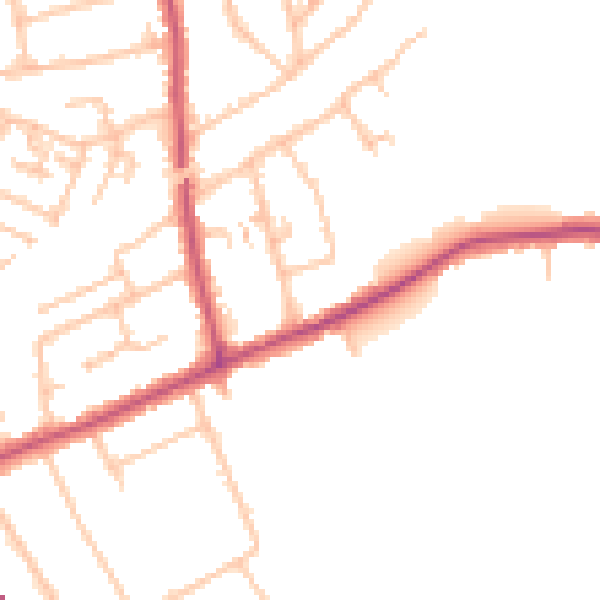
Daytime· 07:00 – 23:00
48.7dB

Night-time· 23:00 – 07:00
39.3dB