11 Athelstan Road, Romford, RM3 0QB
About 11 Athelstan Road
11 Athelstan Road is a four-bedroom semi-detached house in Romford (RM3 0QB). It has a recorded floor area of 160 m² (around 1722 sq ft), construction records dating it to before 1900 and council tax band E. The latest certificate (October 2021) shows a C (score 76), near the top of the C band. When first surveyed in August 2014 the rating was F, the property has climbed 3 bands since. Between certificates, roof efficiency went from Very Poor to Very Good, window efficiency went from Average to Good and hot-water efficiency went from Poor to Good. The recommended improvements would push it to B (score 86). Other recorded features include outbuildings.
At 160 m² the property is well over the postcode median (117 m² across 9 EPCs), placing it in the larger end of the local stock. Its energy rating outperforms most of the postcode (better than 78% of similar EPCs). Across 2019–2022, sale prices on this property compounded at 20.7% per year. On a £-per-square-foot basis, the last sale (£517/sq ft) was about 127% above the typical sold price in the postcode. 2 planning records sit against the property, 0 approved, 0 refused. Sold March 2022 for £890,000. That sale was during the post-pandemic price surge, when transactions cleared materially above pre-2020 trend.
Know exactly what you're buying at 11 Athelstan Road
Before you offer, see what the listing won't tell you, the true value, the red flags and the full history.
Already flagged here
Valuation
against the asking price
Risks
planning & flood
Sold prices
similar homes nearby
Trends
the local market
What this property has
Inside
- Bedrooms4
- Bathrooms3
Outside
- Private gardenYes
- DrivewayYes
- OutbuildingsYes
Building
- RefurbishedYes
Energy performance
EPC Rating
Property Improvements
Changes detected from historical EPC data
Roof insulation improved
Low energy lighting percentage decreased
Hot water system upgraded
Windows upgraded to triple glazing
Loft insulation upgraded to recommended levels
More low energy lighting installed
Planning history
- Feb 2020AmendmentIn report
Application for non-material amendment to planning permission Ref: P1229.19 dated 01/11/2019 to increase the size of the windows.
- Documents
- 4 docs on file
- Reference
- N0003.20
- Nov 2019PorchFullIn report
Extension: Part single, part two storey · Side of property
Proposed part two storey/part single storey side extension and front porch extension.
Extension- Documents
- 6 docs on file
- Reference
- P1229.19
We flagged 2 things worth checking at 11 Athelstan Road
Independent checks surfaced things a buyer would want to understand before offering. The report explains each one in full, with the underlying data and what to ask.
- Signs of HMO activity in the area
- Larger development activity nearby
30-day money-back guarantee
Sales history & valuation
Latest sale on 11 Athelstan Road was the highest on Land Registry record across the postcode.
£935,000
Modelled from EPC, postcode comparables and a sale-price growth of 20.7% per year over 3 years.
£890,000
Growth on file: 20.7% per year over 3 years.
Sales timeline
11 March 2022Most recent
£890,000
+66.4%over 2 years27 June 2019
£535,000
Median price across the last 5 sales in RM3 0QB: £422,000 (2023–2010).
Nearby sales in RM3 0QB
Everything we know about 11 Athelstan Road, in one report
What it's really worth, what could be wrong, and the planning, sales and area data in full.
What we flagged
- Signs of HMO activity in the area
- Larger development activity nearby

Versus other Athelstan Road homes
On price per m², 11 Athelstan Road stands well clear of the street.
Price per m²
£5,563
Street avg £3,042
Floor Area
160 m²
Street avg 125 m²
Habitable Rooms
6 rooms
Street avg 6 rooms
CO₂ Emissions
4.0 t/year
Street avg 5.2 t/year
Similar properties nearby
1 Amelle Gardens
RM3 0HW
1 Charlock Close
RM3 0LE
1 Cane Hill, Harold Wood
RM3 0WH
1 Cavell Crescent, Harold Wood
RM3 0WL
1 Ashflower Drive
RM3 0FL
1 Chelsworth Close
RM3 0ET
1 Blakeborough Drive, Harold Wood
RM3 0WS
1 Aubrietia Close
RM3 0XG
The neighbourhood at a glance
Rail-style transport is unusually close for this postcode.
Crime
6/mo
Rising year-on-year across the wider district.
Nearest stop
0.1 km
Harold Wood Neighbourhood Centre — bus stop.
Closest school
0.5 km
Redden Court School. 22 schools nearby.
Go deeper on the local area
The full report breaks down crime, transport links, schools and air quality in depth.
Road noise across the postcode
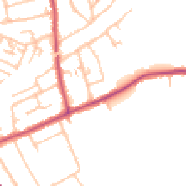
Daytime· 07:00 – 23:00
48.7dB

Night-time· 23:00 – 07:00
39.3dB