51 Sackville Crescent, Romford, RM3 0EH
About 51 Sackville Crescent
51 Sackville Crescent is a three-bedroom detached house in Romford (RM3 0EH). It has a recorded floor area of 109 m² (around 1177 sq ft), construction records dating it to 1950-1966 and council tax band E. The latest certificate (April 2009) shows a D (score 58), a step below the typical UK home. The latest certificate is from April 2009, so improvements made since then won't be reflected.
Across 2004–2014, sale prices on this property compounded at 3.4% per year. Today's modelled estimate of £519,000 sits 50% above the 2014 sale of £346,000. On a £-per-square-foot basis, the last sale (£294/sq ft) was about 15.7% above the typical sold price in the postcode. Last sold in July 2014, so it's been off the market for around 12 years. 6 planning records sit against the property, 0 approved, 0 refused.
Know exactly what you're buying at 51 Sackville Crescent
Before you offer, see what the listing won't tell you, the true value, the red flags and the full history.
Already flagged here
Valuation
against the asking price
Risks
planning & flood
Sold prices
similar homes nearby
Trends
the local market
What this property has
Inside
- Bedrooms3
- Dining roomYes
Outside
- Private gardenFront
- GarageDetached
Energy performance
51 Sackville Crescent's EPC is over a decade old — improvements since won't be reflected.
EPC Expired
This certificate is over 10 years old and is no longer valid.Expired 27 Apr 2019
EPC Rating
Planning history
- Dec 2022Loft ConversionFullIn report
Two storey front and side extensions, single storey side extension and loft conversion with rear dormer and roof lights front and rear.
Extension- Documents
- 5 docs on file
- Reference
- P1688.22
- Aug 2022Loft ConversionFullIn report
Extension: Part single, part two storey · Side and rear of property
Proposed two storey front and side extensions, single storey side extension and loft conversion with rear dormer and roof lights front and rear.
Extension- Documents
- 5 docs on file
- Reference
- P0967.22
We flagged 2 things worth checking at 51 Sackville Crescent
Independent checks surfaced things a buyer would want to understand before offering. The report explains each one in full, with the underlying data and what to ask.
- Signs of HMO activity in the area
- Larger development activity nearby
30-day money-back guarantee
Sales history & valuation
51 Sackville Crescent saw 3 transfers in just over a decade — high turnover for the postcode.
£519,000
Modelled from EPC, postcode comparables and a sale-price growth of 3.4% per year over 10 years.
£346,000
Growth on file: 3.4% per year over 10 years.
Sales timeline
30 July 2014Most recent
£346,000
+19.3%over 4 years29 September 2009
£290,000
+16.2%over 4 years30 September 2004
£249,500
Median price across the last 5 sales in RM3 0EH: £485,000 (2025–2022).
Nearby sales in RM3 0EH
93 Sackville Crescent, Romford, RM3 0EH
Sold Mar 2025
£465,00041 Sackville Crescent, Romford, RM3 0EH
Sold Jan 2025
£482,00047 Sackville Crescent, Romford, RM3 0EH
Sold Jul 2023
£485,00067 Sackville Crescent, Romford, RM3 0EH
Sold Oct 2022
£650,00049 Sackville Crescent, Romford, RM3 0EH
Sold Sept 2022
£540,000
Everything we know about 51 Sackville Crescent, in one report
What it's really worth, what could be wrong, and the planning, sales and area data in full.
What we flagged
- Signs of HMO activity in the area
- Larger development activity nearby

Versus other Sackville Crescent homes
51 Sackville Crescent outperforms the street on years held by a wide margin.
Price per m²
£3,164
Street avg £3,895
Floor Area
109 m²
Street avg 102 m²
Habitable Rooms
5 rooms
Street avg 5 rooms
CO₂ Emissions
5.6 t/year
Street avg 5.6 t/year
Similar properties nearby
1 Chelsworth Close
RM3 0ET
1 Ashflower Drive
RM3 0FL
1 Cavell Crescent, Harold Wood
RM3 0WL
1 Blakeborough Drive, Harold Wood
RM3 0WS
1 Cane Hill, Harold Wood
RM3 0WH
1 Aubrietia Close
RM3 0XG
1 Bennison Drive, Harold Wood
RM3 0WJ
1 Archibald Road
RM3 0RD
The neighbourhood at a glance
Rail-style transport is unusually close for this postcode.
Crime
6/mo
Rising year-on-year across the wider district.
Nearest stop
0.2 km
Bampton Road — bus stop.
Closest school
0.8 km
Broadford Primary School. 21 schools nearby.
Go deeper on the local area
The full report breaks down crime, transport links, schools and air quality in depth.
Road noise across the postcode
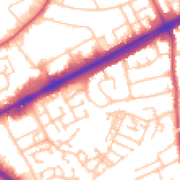
Daytime· 07:00 – 23:00
54.7dB

Night-time· 23:00 – 07:00
43.6dB