49 Sackville Crescent, Romford, RM3 0EH
About 49 Sackville Crescent
49 Sackville Crescent is a detached house in Romford (RM3 0EH). It has a recorded floor area of 220 m² (around 2368 sq ft), construction records dating it to 1930-1949 and council tax band E. The latest certificate (August 2025) shows a C (score 70). When first surveyed in April 2022 the rating was E, the property has climbed 2 bands since. Between certificates, roof efficiency dropped from Good to Average. The recommended improvements would push it to B (score 83).
At 220 m² the property is well over the postcode median (97 m² across 20 EPCs), placing it in the larger end of the local stock. On energy efficiency it sits in the top 10% of properties in this postcode. Today's modelled estimate of £899,000 sits 66.5% above the 2022 sale of £540,000. 2 planning records sit against the property, 0 approved, 0 refused. Most recent transfer: September 2022 at £540,000. That sale was during the post-pandemic price surge, when transactions cleared materially above pre-2020 trend.
Know exactly what you're buying at 49 Sackville Crescent
Before you offer, see what the listing won't tell you, the true value, the red flags and the full history.
Already flagged here
Valuation
against the asking price
Risks
planning & flood
Sold prices
similar homes nearby
Trends
the local market
Energy performance
49 Sackville Crescent ranks among the most efficient homes in the postcode for energy use.
EPC Rating
Property Improvements
Changes detected from historical EPC data
Heating controls changed
High performance glazing installed
Loft insulation upgraded to recommended levels
More low energy lighting installed
Planning history
- Aug 2023Loft ConversionFullIn report
Extension: Side and rear of property
Two storey side and rear extension following demolition of existing garage, loft conversion with three rear dormers, front roof lights and removal of existing chimney stack
Extension- Documents
- 6 docs on file
- Reference
- P0661.23
- Jan 2023Loft ConversionFullIn report
Two storey side extension, part single part two storey rear extension following demolition of existing garage, loft conversion with three rear dormers, front roof lights and removal of existing chimney stack
Extension- Documents
- 6 docs on file
- Reference
- P1838.22
We flagged 2 things worth checking at 49 Sackville Crescent
Independent checks surfaced things a buyer would want to understand before offering. The report explains each one in full, with the underlying data and what to ask.
- Signs of HMO activity in the area
- Larger development activity nearby
30-day money-back guarantee
Sales history & valuation
The latest sale landed in the post-pandemic price surge — useful context when reading the figure.
£899,000
Modelled from EPC, postcode comparables.
£540,000
Recorded with HM Land Registry.
Sales timeline
19 September 2022Most recent
£540,000
Median price across the last 5 sales in RM3 0EH: £482,000 (2025–2022).
Nearby sales in RM3 0EH
93 Sackville Crescent, Romford, RM3 0EH
Sold Mar 2025
£465,00041 Sackville Crescent, Romford, RM3 0EH
Sold Jan 2025
£482,00047 Sackville Crescent, Romford, RM3 0EH
Sold Jul 2023
£485,00067 Sackville Crescent, Romford, RM3 0EH
Sold Oct 2022
£650,00039 Sackville Crescent, Romford, RM3 0EH
Sold Feb 2022
£468,000
Everything we know about 49 Sackville Crescent, in one report
What it's really worth, what could be wrong, and the planning, sales and area data in full.
What we flagged
- Signs of HMO activity in the area
- Larger development activity nearby

Versus other Sackville Crescent homes
On floor area, 49 Sackville Crescent stands well clear of the street.
Price per m²
£2,455
Street avg £3,934
Floor Area
220 m²
Street avg 97 m²
Habitable Rooms
8 rooms
Street avg 5 rooms
CO₂ Emissions
6.7 t/year
Street avg 5.6 t/year
Similar properties nearby
1 Charlock Close
RM3 0LE
1 Bridgemere Close
RM3 0LF
1 Amelle Gardens
RM3 0HW
1 Blanchard Mews, Harold Wood
RM3 0GN
1 Beltinge Road
RM3 0UH
1 Cane Hill, Harold Wood
RM3 0WH
1 Cavell Crescent, Harold Wood
RM3 0WL
1 Ashflower Drive
RM3 0FL
The neighbourhood at a glance
Rail-style transport is unusually close for this postcode.
Crime
6/mo
Rising year-on-year across the wider district.
Nearest stop
0.2 km
Bampton Road — bus stop.
Closest school
0.8 km
Broadford Primary School. 21 schools nearby.
Go deeper on the local area
The full report breaks down crime, transport links, schools and air quality in depth.
Road noise across the postcode
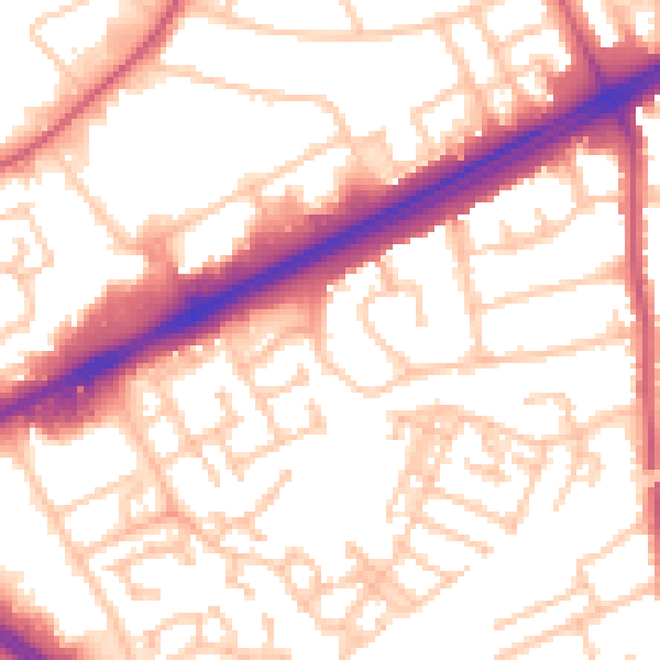
Daytime· 07:00 – 23:00
54.7dB

Night-time· 23:00 – 07:00
43.6dB