170 Oxlow Lane, Dagenham, RM10 7AW
About 170 Oxlow Lane
170 Oxlow Lane is a two-bedroom property in Dagenham (RM10 7AW). It has council tax band C.
Untraded for 17 years, with the last transfer in March 2009. That sale fell during the post-crash dip, which often skews comparisons against later neighbouring sales. One planning record on file: an extension approved in 2017. Past consents include an extension, meaningful when judging how the property has evolved.
Know exactly what you're buying at 170 Oxlow Lane
Before you offer, see what the listing won't tell you, the true value, the red flags and the full history.
Already flagged here
Launch offer · save £5
Valuation
against the asking price
Risks
planning & flood
Sold prices
similar homes nearby
Trends
the local market
What this property has
Inside
- Bedrooms2
Energy performance
No EPC on record
This property doesn't have an Energy Performance Certificate yet. An EPC is required to sell or let — and unlocks our automated valuation.
Planning history
170 Oxlow Lane has an approved single-storey rear extension on the planning record.
- Oct 2017ExtensionFullIn report
Extension: Single storey · Rear of property
Erection of single storey rear extension.
- Documents
- 12 docs on file
- Reference
- 17/01431/FUL
We flagged 1 thing worth checking at 170 Oxlow Lane
Independent checks surfaced things a buyer would want to understand before offering. The report explains each one in full, with the underlying data and what to ask.
- Signs of HMO activity in the area
30-day money-back guarantee
Sales history & valuation
The latest sale fell during the post-2008 dip, often a low-water mark in price comparisons.
£160,000
Recorded with HM Land Registry.
Sales timeline
12 March 2009Most recent
£160,000
Median price across the last 5 sales in RM10 7AW: £370,000 (2025–2021).
Everything we know about 170 Oxlow Lane, in one report
What it's really worth, what could be wrong, and the planning, sales and area data in full.
What we flagged
- Signs of HMO activity in the area

Similar properties nearby
The neighbourhood at a glance
Reported crime in the wider district is trending notably upward year-on-year.
Crime
7/mo
Rising year-on-year across the wider district.
Nearest stop
0.0 km
Croppath Road — bus stop.
Closest school
0.4 km
Richard Alibon Primary School with ARP for Cognitive and Learning Difficulties : SEN Base. 52 schools nearby.
Go deeper on the local area
The full report breaks down crime, transport links, schools and air quality in depth.
Road noise across the postcode
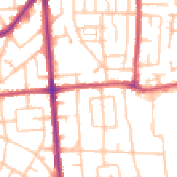
Daytime· 07:00 – 23:00
51.7dB

Night-time· 23:00 – 07:00
41.0dB