41 Granville Road, Oxted, RH8 0BX
About 41 Granville Road
41 Granville Road is a four-bedroom detached house in Oxted (RH8 0BX). It has a recorded floor area of 177 m² (around 1905 sq ft), construction records dating it to 1967-1975 and council tax band G. The latest certificate (April 2022) shows an F (score 34), near the bottom of the EPC scale. The recommended improvements would lift it to D (score 62), a 2-band jump. Main heating runs on oil. Period features are noted in the property record. Our model identifies extension potential, subject to local planning policy.
It lags the bulk of the postcode on energy efficiency (less efficient than 89% of similar EPCs).
Know exactly what you're buying at 41 Granville Road
Before you offer, see what the listing won't tell you, the true value, the red flags and the full history.
Already flagged here
Valuation
against the asking price
Risks
planning & flood
Sold prices
similar homes nearby
Trends
the local market
What this property has
Inside
- Bedrooms4
- Bathrooms2
- Dining roomYes
- EnsuiteYes
Outside
- Private gardenYes
- GarageYes
Building
- Period featuresYes
- Extension potentialPossible
Energy performance
41 Granville Road's carbon output runs well above what efficient homes in the postcode produce.
EPC Rating
Planning history
41 Granville Road has no planning applications on record.
Notable planning nearby
4applications of note in the surrounding area
We flagged 1 thing worth checking at 41 Granville Road
Independent checks surfaced things a buyer would want to understand before offering. The report explains each one in full, with the underlying data and what to ask.
- Larger development activity nearby
30-day money-back guarantee
Sales history & valuation
41 Granville Road has no Land Registry sales on file, suggesting it has stayed in the same hands since registration began.
£1,070,000
Modelled from EPC, postcode comparables.
No sales recorded with HM Land Registry
That can mean the property has never traded since the registry began publishing in 1995, was a new build that hasn't been registered yet, or is held in the same hands long-term.
Median price across the last 5 sales in RH8 0BX: £1,300,000 (2024–2017).
Everything we know about 41 Granville Road, in one report
What it's really worth, what could be wrong, and the planning, sales and area data in full.
What we flagged
- Larger development activity nearby

Versus other Granville Road homes
On epc rating, 41 Granville Road runs well behind the street norm.
EPC Rating
34 (F)
Street avg 56 (D)
Floor Area
177 m²
Street avg 177 m²
CO₂ Emissions
14.0 t/year
Street avg 9.1 t/year
Habitable Rooms
7 rooms
Street avg 7 rooms
Similar properties nearby
1 Churchill Gardens
RH8 0EG
1 Bluehouse Gardens
RH8 0AU
1 Central Way
RH8 0LS
1 Brassey Close
RH8 0EX
1 Eastlands Way
RH8 0LP
1 Champions Place Cottages, Kent Hatch Road
RH8 0TA
1 Detillens Lane
RH8 0DH
1 Chalkpit Lane
RH8 0NF
The neighbourhood at a glance
Rail-style transport is unusually close for this postcode.
Crime
2/mo
Steady year-on-year across the wider district.
Nearest stop
0.4 km
Granville Road — bus stop.
Closest school
0.4 km
Oxted School. 5 schools nearby.
Go deeper on the local area
The full report breaks down crime, transport links, schools and air quality in depth.
Road noise across the postcode
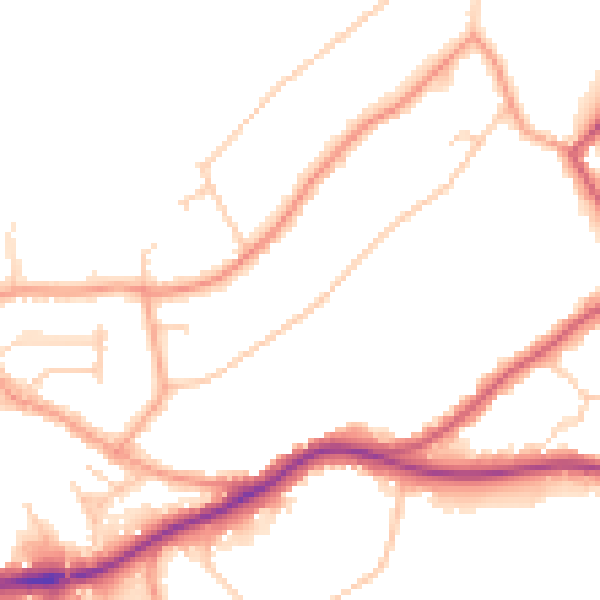
Daytime· 07:00 – 23:00
50.7dB

Night-time· 23:00 – 07:00
42.8dB