1 Broomwicks Place, Broadbridge Heath, Horsham, RH12 3NF
About 1 Broomwicks Place
1 Broomwicks Place is a semi-detached house in Broadbridge Heath, Horsham, Horsham (RH12 3NF). It has a recorded floor area of 83 m² (around 891 sq ft), construction records dating it to 2003-2006 and council tax band C. The latest certificate (July 2009) returns a B (score 82), comfortably above the UK average. The latest certificate is from July 2009, so improvements made since then won't be reflected.
Everything you need to know about 1 Broomwicks Place
The true value, the hidden risks and the full sale history, in one report.
Pick your report · every report is £14.99
One time fee only - money back guarantee

The data behind every report


Energy performance
1 Broomwicks Place's EPC is over a decade old — improvements since won't be reflected.
EPC Expired
This certificate is over 10 years old and is no longer valid.Expired 08 Jul 2019
EPC Rating
Get a survey for this property
Level 2 HomeBuyer Report
We've checked 10 risk factors against the available data for this property and believe a Level 2 HomeBuyer Report could be a suitable option for you.
From £595 · Includes VAT
Planning history
1 Broomwicks Place has no planning applications on record.
But the area is active
10 notable applications nearby — larger schemes and conversions that could reshape the street. The report maps them all.
Sales history & valuation
1 Broomwicks Place has no Land Registry sales on file, suggesting it has stayed in the same hands since registration began.
£313,000
Modelled from EPC, postcode comparables.
No sales recorded with HM Land Registry
That can mean the property has never traded since the registry began publishing in 1995, was a new build that hasn't been registered yet, or is held in the same hands long-term.
Everything you need to know about 1 Broomwicks Place
The true value, the hidden risks and the full sale history, in one report.
Pick your report · every report is £14.99
One time fee only - money back guarantee
The data behind every report
Similar properties nearby
1 Bearsden Way, Broadbridge Heath
RH12 3AQ
1 Brook Cottages, Loxwood Road, Rudgwick
RH12 3BP
1 Carter Drive, Broadbridge Heath
RH12 3GZ
1 Billingshurst Road, Broadbridge Heath
RH12 3LB
1 Brown Close, Broadbridge Heath
RH12 3UR
1 Adams Close, Broadbridge Heath
RH12 3UT
1 Barnsfold Cottages, Barnsfold Lane, Rudgwick
RH12 3BN
1 Arundene Cottage, Loxwood Road, Rudgwick
RH12 3BT
The neighbourhood at a glance
Crime
2/mo
Steady year-on-year across the wider district.
Nearest stop
0.1 km
Shelley Arms — bus stop.
Closest school
0.2 km
Shelley Primary School. 10 schools nearby.
Go deeper on the local area
A Local Area report breaks down crime, transport links, schools and air quality in depth.
Road noise across the postcode
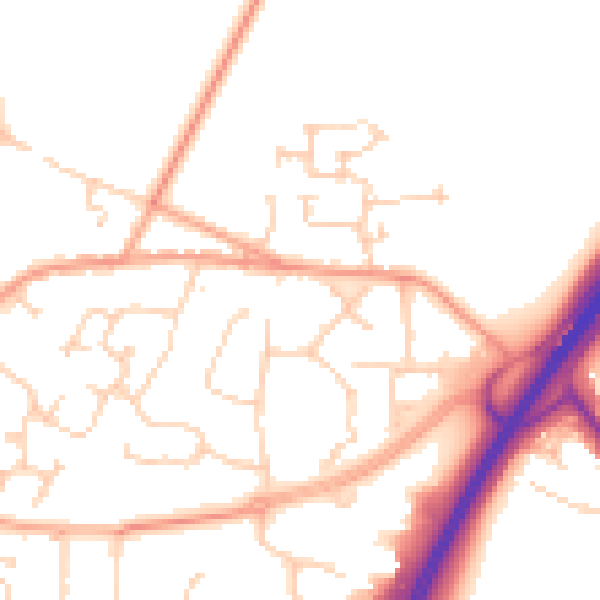
Daytime· 07:00 – 23:00
51.3dB

Night-time· 23:00 – 07:00
41.6dB