1 Corsletts Avenue, Broadbridge Heath, Horsham, RH12 3LQ
About 1 Corsletts Avenue
1 Corsletts Avenue is a three-bedroom property in Broadbridge Heath, Horsham, Horsham (RH12 3LQ). It has council tax band C. Records show the property has been extended at some point in its history.
It hasn't traded since June 2007, a hold of 19 years that's notably long for the area. That sale landed at the peak of the pre-credit-crunch market, which is a useful reference point when interpreting the price.
What this property has
Inside
- Bedrooms3
- CloakroomYes
Outside
- Private gardenFront and rear
- GarageSingle
Building
- Heating systemGas
- Previously extendedYes
Everything you need to know about 1 Corsletts Avenue
The true value, the hidden risks and the full sale history, in one report.
Pick your report · every report is £14.99
One time fee only - money back guarantee

The data behind every report


Energy performance
No EPC on record
This property doesn't have an Energy Performance Certificate yet. An EPC is required to sell or let — and unlocks our automated valuation.
Get a survey for this property
Level 2 HomeBuyer Report
We've checked 10 risk factors against the available data for this property and believe a Level 2 HomeBuyer Report could be a suitable option for you.
Planning history
1 Corsletts Avenue has no planning applications on record.
But the area is active
10 notable applications nearby — larger schemes and conversions that could reshape the street. The report maps them all.
Sales history & valuation
The latest sale landed at the peak of the pre-credit-crunch market — a high-water reference point.
£222,500
Recorded with HM Land Registry.
Sales timeline
13 June 2007Most recent
£222,500
Median price across the last 5 sales in RH12 3LQ: £400,000 (2024–2024).
Nearby sales in RH12 3LQ
17 Corsletts Avenue, Broadbridge Heath, Horsham, RH12 3LQ
Sold Dec 2024
£400,00031 Corsletts Avenue, Broadbridge Heath, Horsham, RH12 3LQ
Sold Aug 2024
£380,00011 Corsletts Avenue, Broadbridge Heath, Horsham, RH12 3LQ
Sold Jul 2024
£442,25043 Corsletts Avenue, Broadbridge Heath, Horsham, RH12 3LQ
Sold Jul 2024
£432,50035 Corsletts Avenue, Broadbridge Heath, Horsham, RH12 3LQ
Sold Jul 2024
£397,500
Everything you need to know about 1 Corsletts Avenue
The true value, the hidden risks and the full sale history, in one report.
Pick your report · every report is £14.99
One time fee only - money back guarantee
The data behind every report
Similar properties nearby
1 Adams Close, Broadbridge Heath
RH12 3UT
1 Arundene Cottage, Loxwood Road, Rudgwick
RH12 3BT
1 Buck Way, Broadbridge Heath
RH12 3UH
1 Brookhurst Field, Foxholes, Rudgwick
RH12 3DQ
1 Barley Mews, Rudgwick
RH12 3XL
1 Bearsden Way, Broadbridge Heath
RH12 3AQ
1 Buckhurst Cottages, Church Street, Rudgwick
RH12 3EZ
1 Chantler Lane, Broadbridge Heath
RH12 3TW
The neighbourhood at a glance
Crime
2/mo
Steady year-on-year across the wider district.
Nearest stop
0.2 km
Warnham Road — bus stop.
Closest school
0.3 km
Shelley Primary School. 9 schools nearby.
Go deeper on the local area
A Local Area report breaks down crime, transport links, schools and air quality in depth.
Road noise across the postcode
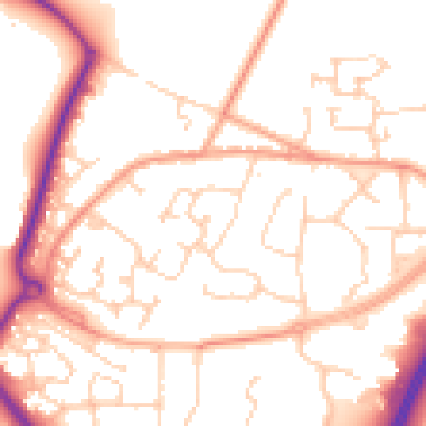
Daytime· 07:00 – 23:00
52.5dB

Night-time· 23:00 – 07:00
42.0dB