17 Colet Road, Crawley, RH10 5AE
About 17 Colet Road
17 Colet Road is a three-bedroom end-of-terrace house in Crawley (RH10 5AE). It has a recorded floor area of 80 m² (around 861 sq ft), construction records dating it to 1950-1966 and council tax band C. The latest certificate (June 2020) shows a C (score 72). When first surveyed in October 2012 the rating was E, the property has climbed 2 bands since. Between certificates, roof efficiency went from Very Poor to Average, window efficiency went from Average to Good and hot-water efficiency went from Average to Good; while wall efficiency dropped from Good to Average. The recommended improvements would push it to B (score 86).
Its energy rating outperforms most of the postcode (better than 71% of similar EPCs). Across 1999–2020, sale prices on this property compounded at 6.6% per year. Today's modelled estimate of £425,000 is 22.3% above the 2020 sale price. On a £-per-square-foot basis, the last sale (£404/sq ft) was about 22% above the typical sold price in the postcode. Last sale on file: £347,500 in September 2020.
What this property has
Inside
- Bedrooms3
- Bathrooms1
- CloakroomYes
Outside
- Private gardenRear
- GarageDetached
Building
- RefurbishedYes
Everything you need to know about 17 Colet Road
The true value, the hidden risks and the full sale history, in one report.
Pick your report · every report is £14.99
One time fee only - money back guarantee

The data behind every report


Energy performance
EPC Rating
Property Improvements
Changes detected from historical EPC data
Heating controls upgraded for better temperature management
Hot water efficiency improved
Window efficiency improved
Roof insulation improved
More low energy lighting installed
Get a survey for this property
Level 2 HomeBuyer Report
We've checked 10 risk factors against the available data for this property and believe a Level 2 HomeBuyer Report could be a suitable option for you.
From £695 · Includes VAT
Planning history
17 Colet Road has no planning applications on record.
A planning report still maps activity across the surrounding area and reads this property's extension & conversion potential.
Sales history & valuation
Sale price has grown by over 3x since 1999.
£425,000
Modelled from EPC, postcode comparables and a sale-price growth of 6.6% per year over 21 years.
£347,500
Growth on file: 6.6% per year over 21 years.
Sales timeline
24 September 2020Most recent
£347,500
+75.9%over 7 years22 March 2013
£197,500
+121.9%over 13 years9 June 1999
£89,000
Median price across the last 5 sales in RH10 5AE: £296,500 (2023–2017).
Versus other Colet Road homes
17 Colet Road outperforms the street on epc rating by a wide margin.
Price per m²
£4,344
Street avg £3,291
Floor Area
80 m²
Street avg 81 m²
Habitable Rooms
4 rooms
Street avg 4 rooms
CO₂ Emissions
2.6 t/year
Street avg 3.8 t/year
Everything you need to know about 17 Colet Road
The true value, the hidden risks and the full sale history, in one report.
Pick your report · every report is £14.99
One time fee only - money back guarantee
The data behind every report
Similar properties nearby
1 Cook Road
RH10 5DH
1 Bligh Close
RH10 5DL
1 Gainsborough Road
RH10 5LD
1 Colet Road
RH10 5AE
1 Garrick Walk
RH10 5BD
1 Ashdown Drive
RH10 5AB
1 Blake Close
RH10 5LN
1 Gloucester Road
RH10 5HN
The neighbourhood at a glance
Crime
6/mo
Steady year-on-year across the wider district.
Nearest stop
0.1 km
Thomas Bennett School — bus stop.
Closest school
0.3 km
Desmond Anderson Primary Academy. 27 schools nearby.
Go deeper on the local area
A Local Area report breaks down crime, transport links, schools and air quality in depth.
Road noise across the postcode
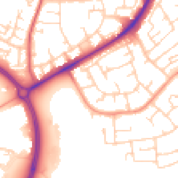
Daytime· 07:00 – 23:00
53.8dB

Night-time· 23:00 – 07:00
44.2dB