65 Derek Road, Whittle Le Woods, Chorley, PR6 7LY
About 65 Derek Road
65 Derek Road is a four-bedroom semi-detached house in Whittle-Le-Woods, Chorley, Chorley (PR6 7LY). It has a recorded floor area of 124 m² (around 1335 sq ft), construction records dating it to 1967-1975 and council tax band B. The latest certificate (May 2019) shows a D (score 62), on the cusp of jumping into the C band. The recommended improvements would lift it to B (score 82), a 2-band jump. Other recorded features include a conservatory.
At 124 m² the property is well over the postcode median (65 m² across 16 EPCs), placing it in the larger end of the local stock. Across 2007–2020, sale prices on this property compounded at 4% per year. Today's modelled estimate of £269,000 is 37.9% above the 2020 sale price. On a £-per-square-foot basis, the last sale (£146/sq ft) was about 24.2% above the typical sold price in the postcode. Most recent transfer: June 2020 at £195,000.
What this property has
Inside
- Bedrooms4
- Bathrooms2
- Dining roomYes
- EnsuiteYes
- ConservatoryYes
Outside
- Private gardenYes
- GarageYes
Building
- RefurbishedYes
Everything you need to know about 65 Derek Road
The true value, the hidden risks and the full sale history, in one report.
Pick your report · every report is £14.99
One time fee only - money back guarantee

The data behind every report


Energy performance
Recommended upgrades on file would lift this property by multiple EPC bands.
EPC Rating
Get a survey for this property
Level 3 Building Survey
Because the property has been extended more than once, we believe a Level 3 building survey should be considered.
From £885 · Includes VAT
Planning history
65 Derek Road has no planning applications on record.
A planning report still maps activity across the surrounding area and reads this property's extension & conversion potential.
Sales history & valuation
The latest sale landed in the post-pandemic price surge — useful context when reading the figure.
£269,000
Modelled from EPC, postcode comparables and a sale-price growth of 4.0% per year over 12 years.
£195,000
Growth on file: 4.0% per year over 12 years.
Sales timeline
4 June 2020Most recent
£195,000
+62.5%over 12 years6 December 2007
£120,000
Median price across the last 5 sales in PR6 7LY: £176,000 (2022–2020).
Nearby sales in PR6 7LY
63 Derek Road, Whittle Le Woods, Chorley, PR6 7LY
Sold Sept 2022
£180,00055 Derek Road, Whittle Le Woods, Chorley, PR6 7LY
Sold May 2022
£201,00031 Derek Road, Whittle Le Woods, Chorley, PR6 7LY
Sold May 2022
£176,00041 Derek Road, Whittle Le Woods, Chorley, PR6 7LY
Sold Feb 2021
£139,99535 Derek Road, Whittle Le Woods, Chorley, PR6 7LY
Sold Dec 2020
£162,500
Versus other Derek Road homes
Floor Area for 65 Derek Road runs comfortably ahead of the street norm.
Price per m²
£1,573
Street avg £1,746
Floor Area
124 m²
Street avg 72 m²
Habitable Rooms
7 rooms
Street avg 4 rooms
CO₂ Emissions
5.8 t/year
Street avg 3.4 t/year
Everything you need to know about 65 Derek Road
The true value, the hidden risks and the full sale history, in one report.
Pick your report · every report is £14.99
One time fee only - money back guarantee
The data behind every report
Similar properties nearby
1 Blackthorn Croft, Clayton Le Woods
PR6 7TZ
1 Bingley Close, Clayton Le Woods
PR6 7ST
1 Brookfield Lane, Clayton Le Woods
PR6 7FG
1 Birch Field, Clayton Le Woods
PR6 7RE
1 Cedar Field, Clayton Le Woods
PR6 7RW
1 Blossom Grove, Whittle Le Woods
PR6 7HB
1 Back Lane, Clayton Le Woods
PR6 7QE
1 Berry Avenue, Whittle Le Woods
PR6 7FX
The neighbourhood at a glance
Crime
2/mo
Steady year-on-year across the wider district.
Nearest stop
0.1 km
Royal Oak — bus stop.
Closest school
0.6 km
Whittle-le-Woods Church of England Primary School. 11 schools nearby.
Go deeper on the local area
A Local Area report breaks down crime, transport links, schools and air quality in depth.
Road noise across the postcode
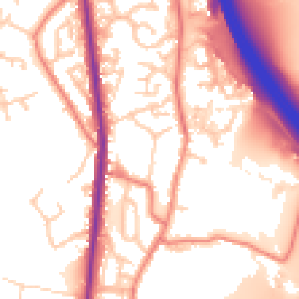
Daytime· 07:00 – 23:00
55.2dB

Night-time· 23:00 – 07:00
45.9dB