Forton Lodge, Ratcliffe Wharf Lane, Forton, Preston, PR3 0AJ
About Forton Lodge
Forton Lodge is a detached house in Forton, Preston, Preston (PR3 0AJ). It has a recorded floor area of 407 m² (around 4381 sq ft), construction records dating it to before 1900 and council tax band G. The latest certificate (April 2012) shows an F (score 37), near the bottom of the EPC scale. The recommended improvements would lift it to D (score 65), a 2-band jump. Main heating runs on oil. The latest certificate is from April 2012, so improvements made since then won't be reflected.
On the market in July 2017 and unlisted since — roughly 9 years.
Everything you need to know about Forton Lodge
The true value, the hidden risks and the full sale history, in one report.
Pick your report · every report is £14.99
One time fee only - money back guarantee

The data behind every report


Energy performance
Forton Lodge's carbon output runs well above what efficient homes in the postcode produce.
EPC Expired
This certificate is over 10 years old and is no longer valid.Expired 23 Apr 2022
EPC Rating
Get a survey for this property
Level 3 Building Survey
Because the property was built before 1919, is a large detached home over 300m², and has no mains gas supply, we believe a Level 3 building survey should be considered.
From £1,360 · Includes VAT
Planning history
Forton Lodge has no planning applications on record.
But the area is active
13 notable applications nearby — larger schemes and conversions that could reshape the street. The report maps them all.
Sales history & valuation
£850,000
Modelled from EPC, postcode comparables.
£865,000
Recorded with HM Land Registry.
Sales timeline
3 July 2017Most recent
£865,000
Median price across the last 1 sales in PR3 0AJ: £500,000 (2008–2008).
Nearby sales in PR3 0AJ
Everything you need to know about Forton Lodge
The true value, the hidden risks and the full sale history, in one report.
Pick your report · every report is £14.99
One time fee only - money back guarantee
The data behind every report
Similar properties nearby
1 Brockside Barn, Barn End, Badgers Wood, Bilsborrow
PR3 0GQ
1 Admarsh Drive, Great Eccleston
PR3 0ER
1 Brockholes Avenue, Great Eccleston
PR3 0EW
1 Beacon Close, Bilsborrow
PR3 0QY
1 Ballot Hill Crescent, Bilsborrow
PR3 0RX
1 Bowland Gardens, Forton
PR3 0BG
1 Blackthorn Avenue, Catterall
PR3 0NP
1 Allotment Lane, St Michaels
PR3 0TZ
The neighbourhood at a glance
Daytime road noise here sits well below conversation level — a quiet pocket of the postcode.
Crime
3/mo
Steady year-on-year across the wider district.
Nearest stop
0.2 km
Middle Holly Cottage — bus stop.
Closest school
1.2 km
Forton Primary School. 3 schools nearby.
Go deeper on the local area
A Local Area report breaks down crime, transport links, schools and air quality in depth.
Road noise across the postcode
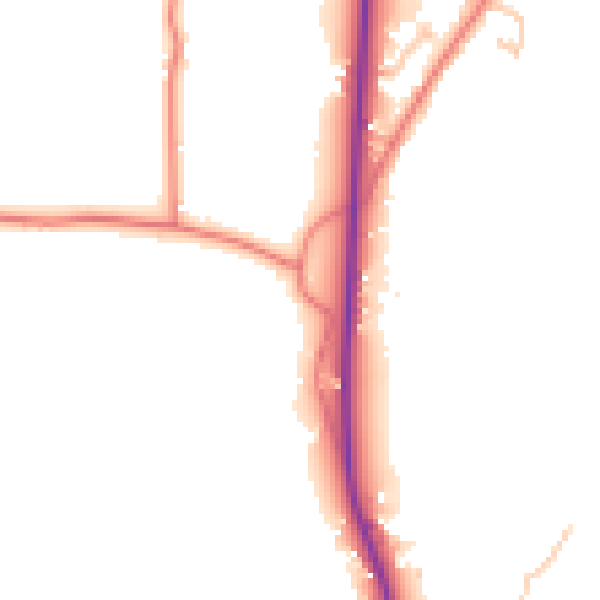
Daytime· 07:00 – 23:00
49.5dB

Night-time· 23:00 – 07:00
42.6dB