7 Garrison Road, Fulwood, Preston, PR2 8AL
About 7 Garrison Road
7 Garrison Road is a property in Fulwood, Preston, Preston (PR2 8AL). It has council tax band D.
Held since April 2003 — that's 23 years off the open market, well above the local norm. 3 planning records sit against the property, 1 approved, 0 refused. Past consents include a loft conversion, meaningful when judging how the property has evolved.
Know exactly what you're buying at 7 Garrison Road
Before you offer, see what the listing won't tell you, the true value, the red flags and the full history.
Already flagged here
Valuation
against the asking price
Risks
planning & flood
Sold prices
similar homes nearby
Trends
the local market
Energy performance
No EPC on record
This property doesn't have an Energy Performance Certificate yet. An EPC is required to sell or let — and unlocks our automated valuation.
Planning history
- Dec 2024Tree WorksTreesIn report
Crown reduction by approximately 1-1.5 metres to 1no. Apple tree (T1)
- Documents
- 5 docs on file
- Reference
- 06/2024/1197
- Nov 2019Tree WorksTreesIn report
Fell and remove 1no. leylandi tree
- Documents
- 7 docs on file
- Reference
- 06/2019/1271
We flagged 2 things worth checking at 7 Garrison Road
Independent checks surfaced things a buyer would want to understand before offering. The report explains each one in full, with the underlying data and what to ask.
- Signs of HMO activity in the area
- Larger development activity nearby
30-day money-back guarantee
Sales history & valuation
£177,500
Recorded with HM Land Registry.
Sales timeline
23 April 2003Most recent
£177,500
Median price across the last 5 sales in PR2 8AL: £255,000 (2023–2013).
Nearby sales in PR2 8AL
5 Garrison Road, Fulwood, Preston, PR2 8AL
Sold Feb 2023
£280,7504 Garrison Road, Fulwood, Preston, PR2 8AL
Sold Jan 2019
£255,00013 Garrison Road, Fulwood, Preston, PR2 8AL
Sold May 2018
£220,00017 Garrison Road, Fulwood, Preston, PR2 8AL
Sold Nov 2014
£380,00010 Garrison Road, Fulwood, Preston, PR2 8AL
Sold Oct 2013
£195,000
Everything we know about 7 Garrison Road, in one report
What it's really worth, what could be wrong, and the planning, sales and area data in full.
What we flagged
- Signs of HMO activity in the area
- Larger development activity nearby

Similar properties nearby
1 Bedford Road, Fulwood
PR2 8BS
1 Allenby Avenue, Fulwood
PR2 8DL
1 Churchfield, Fulwood
PR2 8GS
1 Chapel Road, Fulwood
PR2 8ET
1 Fairways, Fulwood
PR2 8FX
1 Allengate, Fulwood
PR2 8LF
1 Forest Way, Fulwood
PR2 8PR
1 Croftgate, Fulwood
PR2 8LS
The neighbourhood at a glance
Crime
6/mo
Steady year-on-year across the wider district.
Nearest stop
0.1 km
Garrison Road — bus stop.
Closest school
0.4 km
St Gregory's Catholic Primary School, Preston. 45 schools nearby.
Go deeper on the local area
The full report breaks down crime, transport links, schools and air quality in depth.
Road noise across the postcode
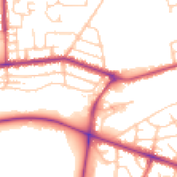
Daytime· 07:00 – 23:00
52.3dB

Night-time· 23:00 – 07:00
43.8dB