17 Carbis Avenue, Grimsargh, Preston, PR2 5LU
About 17 Carbis Avenue
17 Carbis Avenue is a property in Grimsargh, Preston, Preston (PR2 5LU). It has council tax band G.
Untraded for 20 years, with the last transfer in November 2006.
Know exactly what you're buying at 17 Carbis Avenue
Before you offer, see what the listing won't tell you, the true value, the red flags and the full history.
Valuation
against the asking price
Risks
planning & flood
Sold prices
similar homes nearby
Trends
the local market
Energy performance
No EPC on record
This property doesn't have an Energy Performance Certificate yet. An EPC is required to sell or let — and unlocks our automated valuation.
Planning history
17 Carbis Avenue has no planning applications on record.
The full report still covers planning activity across the surrounding area.
Sales history & valuation
£404,995
Recorded with HM Land Registry.
Sales timeline
30 November 2006Most recent
£404,995
Median price across the last 5 sales in PR2 5LU: £397,000 (2025–2024).
Nearby sales in PR2 5LU
32 Carbis Avenue, Grimsargh, Preston, PR2 5LU
Sold Sept 2025
£478,00013 Carbis Avenue, Grimsargh, Preston, PR2 5LU
Sold Sept 2025
£214,95010 Carbis Avenue, Grimsargh, Preston, PR2 5LU
Sold Jan 2025
£167,00037 Carbis Avenue, Grimsargh, Preston, PR2 5LU
Sold Sept 2024
£397,00046 Carbis Avenue, Grimsargh, Preston, PR2 5LU
Sold Aug 2024
£482,500
Everything we know about 17 Carbis Avenue, in one report
What it's really worth, what could be wrong, and the planning, sales and area data in full.
- Am I paying too much?
- Is something wrong with it?
- Is the agent's story true?
- Will it hold its value?

Similar properties nearby
1 Appledale Drive, Grimsargh
PR2 5EA
1 Hedgerow Drive, Grimsargh
PR2 5DN
1 Combine Road, Grimsargh
PR2 5DH
1 Hock Drive, Grimsargh
PR2 5DQ
1 Moss Nook Drive, Grimsargh
PR2 5TR
1 Cradle Court, Grimsargh
PR2 5DL
1 Cow Hill, Haighton
PR2 5SE
1 East View, Cow Hill, Haighton
PR2 5SH
The neighbourhood at a glance
Daytime road noise here sits well below conversation level — a quiet pocket of the postcode.
Crime
6/mo
Steady year-on-year across the wider district.
Nearest stop
0.3 km
Nook Crescent — bus stop.
Closest school
0.4 km
Grimsargh St Michael's Church of England Primary School. 5 schools nearby.
Go deeper on the local area
The full report breaks down crime, transport links, schools and air quality in depth.
Road noise across the postcode
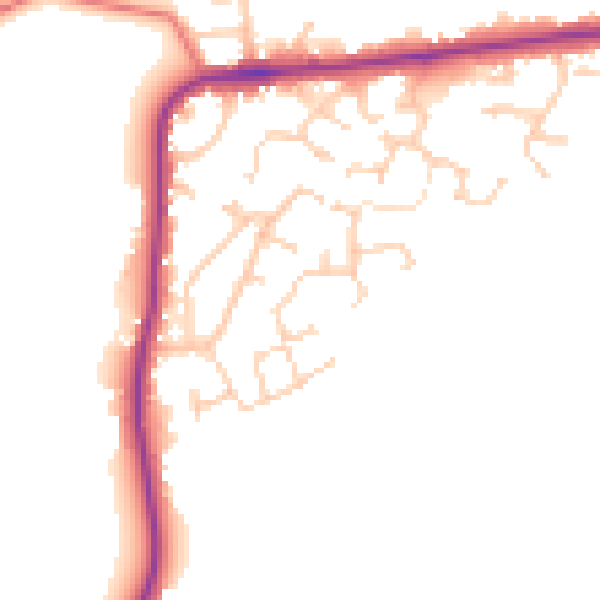
Daytime· 07:00 – 23:00
48.5dB
Night-time· 23:00 – 07:00
41.1dB