80 Woodfield Avenue, Portsmouth, PO6 1AR
About 80 Woodfield Avenue
80 Woodfield Avenue is a three-bedroom semi-detached house in Portsmouth (PO6 1AR). It has a recorded floor area of 104 m² (around 1119 sq ft), construction records dating it to 1930-1949 and council tax band D. The latest certificate (June 2015) shows a C (score 71). When first surveyed in December 2013 the rating was D, the property has climbed 1 band since. Between certificates, wall efficiency went from Poor to Good, roof efficiency went from Average to Good and lighting went from Very Poor to Average. The recommended improvements would push it to B (score 84). The latest certificate is from June 2015, so improvements made since then won't be reflected. Other recorded features include notable views.
Its energy rating outperforms most of the postcode (better than 89% of similar EPCs). Across 1996–2015, sale prices on this property compounded at 7.7% per year. Today's modelled estimate of £420,000 is 34.4% above the 2015 sale price. On a £-per-square-foot basis, the last sale (£279/sq ft) was about 74.6% above the typical sold price in the postcode. Last sold in October 2015, so it's been off the market for around 11 years. One planning record on file: an extension refused in 2017.
Know exactly what you're buying at 80 Woodfield Avenue
Before you offer, see what the listing won't tell you, the true value, the red flags and the full history.
Already flagged here
Valuation
against the asking price
Risks
planning & flood
Sold prices
similar homes nearby
Trends
the local market
What this property has
Inside
- Bedrooms3
- Dining roomYes
Outside
- Private gardenSouth-facing
- GarageYes
- Notable viewsYes
Energy performance
80 Woodfield Avenue's EPC is over a decade old — improvements since won't be reflected.
EPC Expired
This certificate is over 10 years old and is no longer valid.Expired 09 Jun 2025
EPC Rating
Property Improvements
Changes detected from historical EPC data
Heating controls upgraded for better temperature management
Cavity wall insulation installed
Roof insulation improved
More low energy lighting installed
Planning history
- Sept 2017ExtensionFullIn report
Extension: Single storey · Rear of property
Construction of single storey rear extension and formation of raised garden terrace
- Documents
- 7 docs on file
- Reference
- 17/01228/HOU
We flagged 1 thing worth checking at 80 Woodfield Avenue
Independent checks surfaced things a buyer would want to understand before offering. The report explains each one in full, with the underlying data and what to ask.
- Signs of HMO activity in the area
30-day money-back guarantee
Sales history & valuation
80 Woodfield Avenue has more than quadrupled in price since its earliest registered sale in 1996.
£420,000
Modelled from EPC, postcode comparables and a sale-price growth of 7.7% per year over 19 years.
£312,500
Growth on file: 7.7% per year over 19 years.
Sales timeline
18 October 2015Most recent
£312,500
+311.2%over 19 years29 August 1996
£76,000
Median price across the last 5 sales in PO6 1AR: £335,000 (2023–2017).
Nearby sales in PO6 1AR
72 Woodfield Avenue, Portsmouth, PO6 1AR
Sold Mar 2023
£323,50068 Woodfield Avenue, Portsmouth, PO6 1AR
Sold Jun 2021
£320,00076 Woodfield Avenue, Portsmouth, PO6 1AR
Sold Oct 2018
£430,00070 Woodfield Avenue, Portsmouth, PO6 1AR
Sold Aug 2017
£367,50078 Woodfield Avenue, Portsmouth, PO6 1AR
Sold Jun 2017
£335,000
Everything we know about 80 Woodfield Avenue, in one report
What it's really worth, what could be wrong, and the planning, sales and area data in full.
What we flagged
- Signs of HMO activity in the area

Versus other Woodfield Avenue homes
On epc rating, 80 Woodfield Avenue stands well clear of the street.
Price per m²
£3,005
Street avg £2,883
Floor Area
104 m²
Street avg 116 m²
Habitable Rooms
5 rooms
Street avg 5 rooms
CO₂ Emissions
3.2 t/year
Street avg 4.2 t/year
Similar properties nearby
1 Hardy Road
PO6 1JY
1 Copsey Close, Drayton
PO6 1NT
1 Copsey Grove, Drayton
PO6 1NA
1 Acorn Close
PO6 1AU
1 Elmtree Road
PO6 1AY
1 Copper Beech Drive
PO6 1AZ
1 Highlands Road, Drayton
PO6 1HL
1 Blake Road, Drayton
PO6 1ET
The neighbourhood at a glance
Crime
9/mo
Steady year-on-year across the wider district.
Nearest stop
0.3 km
St Andrews Church — bus stop.
Closest school
0.9 km
Solent Infant School. 23 schools nearby.
Go deeper on the local area
The full report breaks down crime, transport links, schools and air quality in depth.
Road noise across the postcode
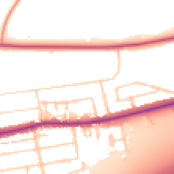
Daytime· 07:00 – 23:00
53.6dB

Night-time· 23:00 – 07:00
44.9dB