14 Bellevue Lane, Emsworth, PO10 7PX
About 14 Bellevue Lane
14 Bellevue Lane is a four-bedroom semi-detached house in Emsworth (PO10 7PX). It has a recorded floor area of 133 m² (around 1432 sq ft), construction records dating it to 1967-1975 and council tax band D. The latest certificate (April 2021) shows a D (score 64), on the cusp of jumping into the C band. The recommended improvements would push it to C (score 78). Our model identifies extension potential, subject to local planning policy.
At 133 m² it's 24.9% larger than the typical home in the postcode (107 m² median across 8 EPCs). Today's modelled estimate of £493,000 is 15.9% above the 2021 sale price. Most recent transfer: June 2021 at £425,501. That sale was during the post-pandemic price surge, when transactions cleared materially above pre-2020 trend.
Know exactly what you're buying at 14 Bellevue Lane
Before you offer, see what the listing won't tell you, the true value, the red flags and the full history.
Already flagged here
Launch offer · save £5
Valuation
against the asking price
Risks
planning & flood
Sold prices
similar homes nearby
Trends
the local market
What this property has
Inside
- Bedrooms4
- Bathrooms1
- Dining roomYes
- Utility roomYes
- CloakroomYes
- EnsuiteYes
Outside
- Private gardenfront_and_rear
- Garageintegral
Building
- Extension potentialPossible
Energy performance
EPC Rating
Planning history
14 Bellevue Lane has no planning applications on record.
Notable planning nearby
2applications of note in the surrounding area
We flagged 1 thing worth checking at 14 Bellevue Lane
Independent checks surfaced things a buyer would want to understand before offering. The report explains each one in full, with the underlying data and what to ask.
- Larger development activity nearby
30-day money-back guarantee
Sales history & valuation
The latest sale landed in the post-pandemic price surge — useful context when reading the figure.
£493,000
Modelled from EPC, postcode comparables.
£425,501
Recorded with HM Land Registry.
Sales timeline
27 June 2021Most recent
£425,501
Median price across the last 5 sales in PO10 7PX: £483,000 (2020–2013).
Nearby sales in PO10 7PX
Everything we know about 14 Bellevue Lane, in one report
What it's really worth, what could be wrong, and the planning, sales and area data in full.
What we flagged
- Larger development activity nearby

Versus other Bellevue Lane homes
14 Bellevue Lane is notably below the street on years held.
Price per m²
£3,199
Street avg £3,602
Floor Area
133 m²
Street avg 110 m²
Habitable Rooms
6 rooms
Street avg 5 rooms
CO₂ Emissions
5.1 t/year
Street avg 4.4 t/year
Similar properties nearby
1 Bridge Road
PO10 7DT
1 Aubin Wood
PO10 7UA
1 Christopher Way
PO10 7QZ
1 Chester Close
PO10 7LN
1 Birch Tree Drive
PO10 7RS
1 Churchill Drive
PO10 7SL
1 Bath Road
PO10 7EP
1 Bullfinch Close, Brushwood Grove
PO10 7GX
The neighbourhood at a glance
Rail-style transport is unusually close for this postcode.
Crime
2/mo
Steady year-on-year across the wider district.
Nearest stop
0.2 km
Christopher Way — bus stop.
Closest school
0.0 km
St James Church of England Controlled Primary School. 10 schools nearby.
Go deeper on the local area
The full report breaks down crime, transport links, schools and air quality in depth.
Road noise across the postcode
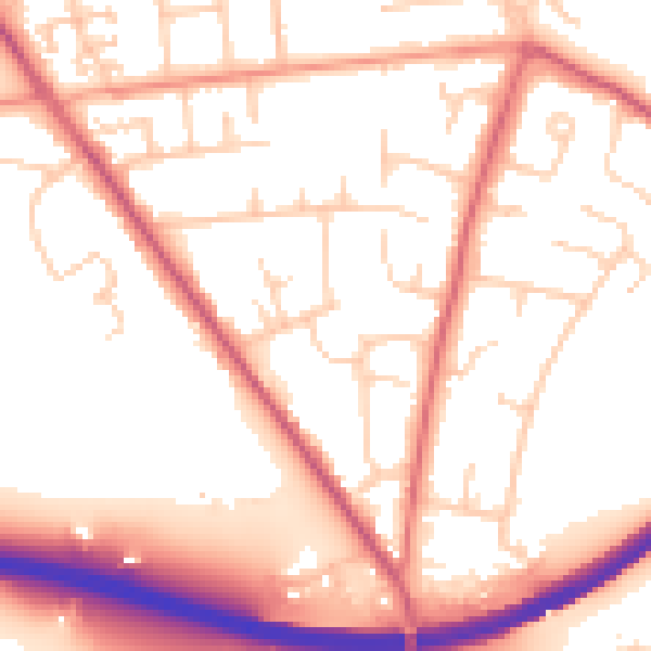
Daytime· 07:00 – 23:00
54.6dB

Night-time· 23:00 – 07:00
45.8dB