11 Bellevue Lane, Emsworth, PO10 7PX
About 11 Bellevue Lane
11 Bellevue Lane is a three-bedroom detached house in Emsworth (PO10 7PX). It has a recorded floor area of 93 m² (around 1001 sq ft), construction records dating it to 1900-1929 and council tax band D. The latest certificate (February 2018) shows a D (score 64), on the cusp of jumping into the C band. Earlier certificates rated it C (September 2015); the latest reading is one band lower. Between certificates, lighting went from Good to Very Good; while wall efficiency dropped from Good to Average. The recommended improvements would push it to C (score 80). Period features are noted in the property record.
Across 2016–2018, sale prices on this property compounded at 11.3% per year. Today's modelled estimate of £604,000 is 10.8% above the 2018 sale price. On a £-per-square-foot basis, the last sale (£544/sq ft) was about 105.6% above the typical sold price in the postcode. At 93 m² it's 19.8% smaller than the typical home in the postcode (116 m² median across 8 EPCs). Most recent transfer: November 2018 at £545,000.
Know exactly what you're buying at 11 Bellevue Lane
Before you offer, see what the listing won't tell you, the true value, the red flags and the full history.
Already flagged here
Launch offer · save £5
Valuation
against the asking price
Risks
planning & flood
Sold prices
similar homes nearby
Trends
the local market
What this property has
Inside
- Bedrooms3
- Bathrooms1
- Open-plan layoutYes
- CloakroomYes
Outside
- Private gardenrear
Building
- Central heatingYes
- Period featuresYes
- RefurbishedYes
Energy performance
EPC Rating
Property Improvements
Changes detected from historical EPC data
More low energy lighting installed
Planning history
11 Bellevue Lane has no planning applications on record.
Notable planning nearby
2applications of note in the surrounding area
We flagged 1 thing worth checking at 11 Bellevue Lane
Independent checks surfaced things a buyer would want to understand before offering. The report explains each one in full, with the underlying data and what to ask.
- Larger development activity nearby
30-day money-back guarantee
Sales history & valuation
Latest sale on 11 Bellevue Lane was the highest on Land Registry record across the postcode.
£604,000
Modelled from EPC, postcode comparables and a sale-price growth of 11.3% per year over 3 years.
£545,000
Growth on file: 11.3% per year over 3 years.
Sales timeline
14 November 2018Most recent
£545,000
+31.3%over 2 years28 April 2016
£415,000
Median price across the last 5 sales in PO10 7PX: £425,501 (2021–2012).
Nearby sales in PO10 7PX
Everything we know about 11 Bellevue Lane, in one report
What it's really worth, what could be wrong, and the planning, sales and area data in full.
What we flagged
- Larger development activity nearby

Versus other Bellevue Lane homes
11 Bellevue Lane is notably below the street on habitable rooms.
Price per m²
£5,860
Street avg £3,270
Floor Area
93 m²
Street avg 115 m²
Habitable Rooms
4 rooms
Street avg 6 rooms
CO₂ Emissions
3.3 t/year
Street avg 4.6 t/year
Similar properties nearby
1 Bath Road
PO10 7EP
1 Churchill Drive
PO10 7SL
1 Birch Tree Drive
PO10 7RS
1 Bullfinch Close, Brushwood Grove
PO10 7GX
1 Bridge Road
PO10 7DT
1 Aubin Wood
PO10 7UA
1 Barwell Grove
PO10 7XY
1 Christopher Way
PO10 7QZ
The neighbourhood at a glance
Rail-style transport is unusually close for this postcode.
Crime
2/mo
Steady year-on-year across the wider district.
Nearest stop
0.2 km
Christopher Way — bus stop.
Closest school
0.0 km
St James Church of England Controlled Primary School. 10 schools nearby.
Go deeper on the local area
The full report breaks down crime, transport links, schools and air quality in depth.
Road noise across the postcode
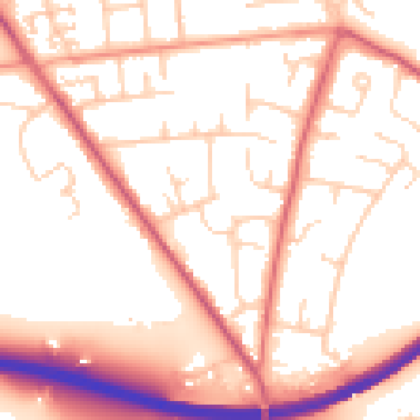
Daytime· 07:00 – 23:00
54.6dB

Night-time· 23:00 – 07:00
45.8dB