33 Brushwood Grove, Emsworth, PO10 7GJ
About 33 Brushwood Grove
33 Brushwood Grove is an end-of-terrace house in Emsworth (PO10 7GJ). It has a recorded floor area of 86 m² (around 926 sq ft). The latest certificate (May 2014) returns a B (score 83), comfortably above the UK average. The recommended improvements would push it to A (score 95). The latest certificate is from May 2014, so improvements made since then won't be reflected.
One planning application is currently pending a decision in 2020. At 86 m² it's 18.9% smaller than the typical home in the postcode (106 m² median across 17 EPCs).
Know exactly what you're buying at 33 Brushwood Grove
Before you offer, see what the listing won't tell you, the true value, the red flags and the full history.
Already flagged here
Launch offer · save £5
Valuation
against the asking price
Risks
planning & flood
Sold prices
similar homes nearby
Trends
the local market
Energy performance
33 Brushwood Grove's carbon output is low for the local stock.
EPC Expired
This certificate is over 10 years old and is no longer valid.Expired 01 May 2024
EPC Rating
Planning history
- Feb 2020ConditionsIn report
1. Confirmation that all obligations contained in Section 106 Agreement dated 12 May 2011 have been complied with. 2. Confirmation that all obligations contained in Deed of Variation dated 12 December 2012 have been complied with. 4. Confirmation that all obligations contained in Deed of Variation dated 19 October 2017 have been complied with.
- Reference
- GEN/20/00167
We flagged 1 thing worth checking at 33 Brushwood Grove
Independent checks surfaced things a buyer would want to understand before offering. The report explains each one in full, with the underlying data and what to ask.
- Larger development activity nearby
30-day money-back guarantee
Sales history & valuation
33 Brushwood Grove has no Land Registry sales on file, suggesting it has stayed in the same hands since registration began.
£169,000
Modelled from EPC, postcode comparables.
No sales recorded with HM Land Registry
That can mean the property has never traded since the registry began publishing in 1995, was a new build that hasn't been registered yet, or is held in the same hands long-term.
Median price across the last 5 sales in PO10 7GJ: £387,950 (2025–2020).
Nearby sales in PO10 7GJ
Everything we know about 33 Brushwood Grove, in one report
What it's really worth, what could be wrong, and the planning, sales and area data in full.
What we flagged
- Larger development activity nearby

Versus other Brushwood Grove homes
On floor area, 33 Brushwood Grove runs well behind the street norm.
EPC Rating
83 (B)
Street avg 83 (B)
Floor Area
86 m²
Street avg 107 m²
CO₂ Emissions
1.3 t/year
Street avg 1.7 t/year
Similar properties nearby
The neighbourhood at a glance
Daytime road noise here sits well below conversation level — a quiet pocket of the postcode.
Crime
2/mo
Steady year-on-year across the wider district.
Nearest stop
0.3 km
Southleigh Roundabout — bus stop.
Closest school
0.8 km
St James Church of England Controlled Primary School. 11 schools nearby.
Go deeper on the local area
The full report breaks down crime, transport links, schools and air quality in depth.
Road noise across the postcode
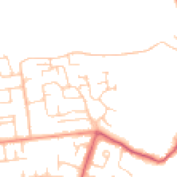
Daytime· 07:00 – 23:00
47.0dB

Night-time· 23:00 – 07:00
38.7dB