15 Brushwood Grove, Emsworth, PO10 7GJ
About 15 Brushwood Grove
15 Brushwood Grove is a four-bedroom detached house in Emsworth (PO10 7GJ). It has a recorded floor area of 137 m² (around 1475 sq ft) and construction records dating it to 2012 onwards. The latest certificate (April 2025) shows a C (score 78), near the top of the C band. Earlier certificates rated it B (December 2014); the latest reading is one band lower. Between certificates, roof efficiency dropped from Very Good to Good and window efficiency dropped from Very Good to Good. The recommended improvements would push it to B (score 88). Other recorded features include a conservatory. The home occupies a cul-de-sac position.
It changed hands recently, sold October 2025 for £550,000. 2 planning records sit against the property, 1 approved, 0 refused. Past consents include an extension and a conservatory, meaningful when judging how the property has evolved. At 137 m² it's 29.2% larger than the typical home in the postcode (106 m² median across 17 EPCs). It lags the bulk of the postcode on energy efficiency (less efficient than 82% of similar EPCs). Across 2015–2025, sale prices on this property compounded at 2.7% per year. On a £-per-square-foot basis, the last sale (£373/sq ft) was about 28.2% above the typical sold price in the postcode.
Know exactly what you're buying at 15 Brushwood Grove
Before you offer, see what the listing won't tell you, the true value, the red flags and the full history.
Already flagged here
Launch offer · save £5
Valuation
against the asking price
Risks
planning & flood
Sold prices
similar homes nearby
Trends
the local market
What this property has
Inside
- Bedrooms4
- Bathrooms2
- Dining roomYes
- Utility roomYes
- CloakroomYes
- EnsuiteYes
- StudyYes
- ConservatoryYes
Outside
- Private gardenrear
- GarageYes
- Cul-de-sacYes
Energy performance
EPC Rating
Planning history
15 Brushwood Grove has 2 separate extension applications on the council record.
- May 2015ConservatoryFullIn report
Extension: Rear of property
Conservatory to rear.
- Agent
- Living Rooms Home Improvements Ltd
Extension- Documents
- 8 docs on file
- Reference
- APP/15/00229
- Feb 2015ExtensionOutlineIn report
Extension: Single storey · Rear of property
Prior notification for single storey development extending 3.7 metres beyond the rear wall of the original dwelling, incorporating an eaves height of 2.3 metres and a maximum height of 3.4 metres.
- Documents
- 2 docs on file
- Reference
- APP/15/00197
We flagged 1 thing worth checking at 15 Brushwood Grove
Independent checks surfaced things a buyer would want to understand before offering. The report explains each one in full, with the underlying data and what to ask.
- Larger development activity nearby
30-day money-back guarantee
Sales history & valuation
Latest sale on 15 Brushwood Grove was the highest on Land Registry record across the postcode.
£529,000
Modelled from EPC, postcode comparables and a sale-price growth of 2.7% per year over 11 years.
£550,000
Growth on file: 2.7% per year over 11 years.
Sales timeline
23 October 2025Most recent
£550,000
+32.5%over 10 years16 January 2015
£414,995
Median price across the last 5 sales in PO10 7GJ: £387,950 (2025–2017).
Nearby sales in PO10 7GJ
Everything we know about 15 Brushwood Grove, in one report
What it's really worth, what could be wrong, and the planning, sales and area data in full.
What we flagged
- Larger development activity nearby

Versus other Brushwood Grove homes
15 Brushwood Grove is notably below the street on years held.
Price per m²
£4,015
Street avg £3,037
Floor Area
137 m²
Street avg 104 m²
Habitable Rooms
8 rooms
Street avg 5 rooms
CO₂ Emissions
2.8 t/year
Street avg 1.6 t/year
Similar properties nearby
1 Bridge Road
PO10 7DT
1 Aubin Wood
PO10 7UA
1 Christopher Way
PO10 7QZ
1 Chester Close
PO10 7LN
1 Churchill Drive
PO10 7SL
1 Bath Road
PO10 7EP
1 Birch Tree Drive
PO10 7RS
1 Bullfinch Close, Brushwood Grove
PO10 7GX
The neighbourhood at a glance
Daytime road noise here sits well below conversation level — a quiet pocket of the postcode.
Crime
2/mo
Steady year-on-year across the wider district.
Nearest stop
0.3 km
Southleigh Roundabout — bus stop.
Closest school
0.8 km
St James Church of England Controlled Primary School. 11 schools nearby.
Go deeper on the local area
The full report breaks down crime, transport links, schools and air quality in depth.
Road noise across the postcode
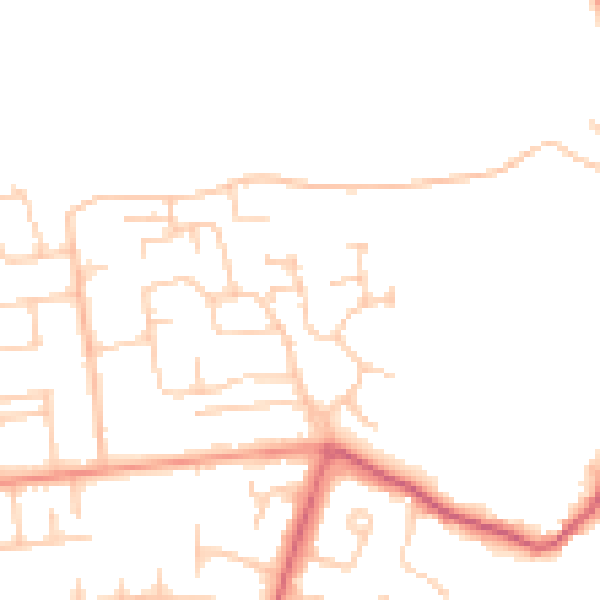
Daytime· 07:00 – 23:00
47.0dB

Night-time· 23:00 – 07:00
38.7dB