126a, Garden Flat, High Street, Portsmouth, PO1 2HW
About 126a
126a is an end-of-terrace house in Portsmouth (PO1 2HW). It has a recorded floor area of 83 m² (around 893 sq ft), construction records dating it to 1950-1966 and council tax band C. The latest certificate (October 2022) shows an E (score 46), well below the UK norm with real room to improve. The recommended improvements would lift it to C (score 71), a 2-band jump.
It lags the bulk of the postcode on energy efficiency (less efficient than 76% of similar EPCs).
Everything you need to know about 126a
The true value, the hidden risks and the full sale history, in one report.
Pick your report · every report is £14.99
One time fee only - money back guarantee

The data behind every report


Energy performance
Recommended upgrades on file would lift this property by multiple EPC bands.
EPC Rating
Get a survey for this property
Level 2 HomeBuyer Report
We've checked 10 risk factors against the available data for this property and believe a Level 2 HomeBuyer Report could be a suitable option for you.
From £545 · Includes VAT
Planning history
126a has no planning applications on record.
A planning report still maps activity across the surrounding area and reads this property's extension & conversion potential.
Sales history & valuation
126a has no Land Registry sales on file, suggesting it has stayed in the same hands since registration began.
£284,000
Modelled from EPC, postcode comparables.
No sales recorded with HM Land Registry
That can mean the property has never traded since the registry began publishing in 1995, was a new build that hasn't been registered yet, or is held in the same hands long-term.
Median price across the last 5 sales in PO1 2HW: £585,000 (2022–2019).
Nearby sales in PO1 2HW
Versus other High Street homes
EPC Rating for 126a lags the street by a wide margin.
EPC Rating
46 (E)
Street avg 62 (D)
Floor Area
83 m²
Street avg 90 m²
CO₂ Emissions
5.4 t/year
Street avg 4.1 t/year
Habitable Rooms
3 rooms
Street avg 4 rooms
Everything you need to know about 126a
The true value, the hidden risks and the full sale history, in one report.
Pick your report · every report is £14.99
One time fee only - money back guarantee
The data behind every report
Similar properties nearby
16a, Lower Flat, High Street
PO1 2LP
16a, Top Flat, High Street
PO1 2LP
21 22, Flat 6, Landport Terrace
PO1 2RG
21 22, Flat 4, Landport Terrace
PO1 2RG
32 33, Flat 2, Hampshire Terrace
PO1 2QF
32 33, Flat 6, Hampshire Terrace
PO1 2QF
32 33, Flat 4, Hampshire Terrace
PO1 2QF
32 33, Flat 1, Hampshire Terrace
PO1 2QF
The neighbourhood at a glance
Rail-style transport is unusually close for this postcode.
Crime
9/mo
Steady year-on-year across the wider district.
Nearest stop
0.1 km
Portsmouth Grammar School — bus stop.
Closest school
0.2 km
St Jude's CofE Primary School. 29 schools nearby.
Go deeper on the local area
A Local Area report breaks down crime, transport links, schools and air quality in depth.
Road noise across the postcode
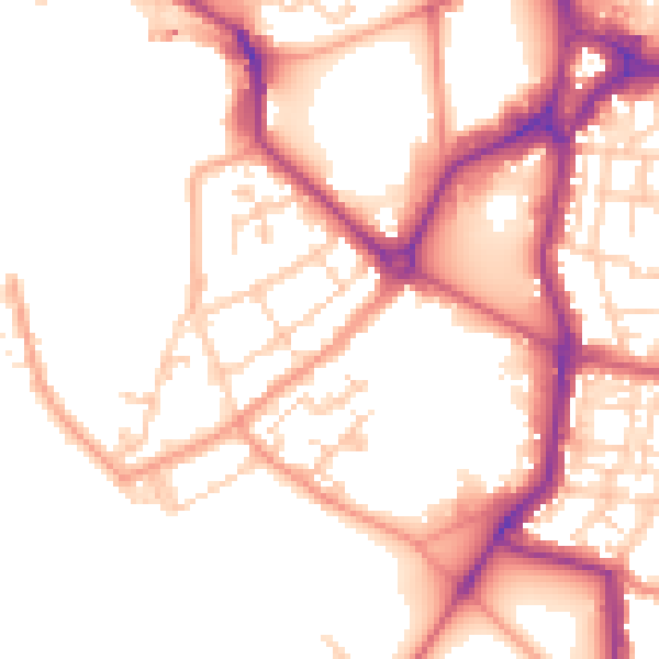
Daytime· 07:00 – 23:00
52.3dB

Night-time· 23:00 – 07:00
43.6dB